Functional temporarily unavailable
Cities and villages of Mukachevo district
Online travel guide to the settlements of Mukachevo district
General information about Mukachevo district
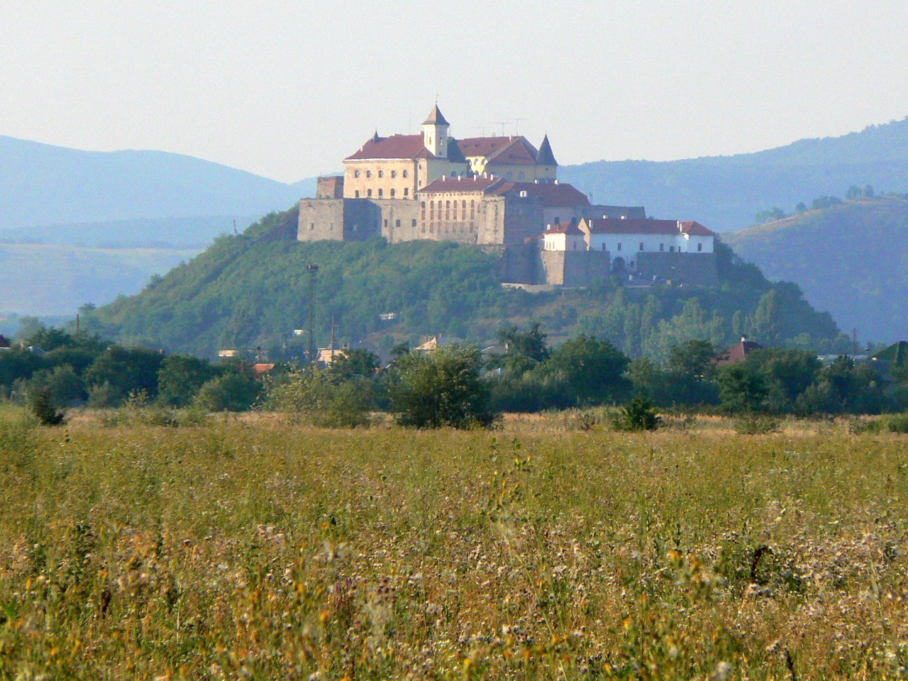
Mukachevo district is located in the central part of the Transcarpathian region. The Latorytsia River flows within the district. An interesting object of the nature reserve fund is the arboretum of local significance "Berezinka". There are such historical and cultural monuments as Mukachevo Castle "Palanok", Chinadiyevsky Castle "St. Miklosh", the palace of the Counts of Schönborn "Beregvar". The main recreational centers are the balneological resorts of Polyana and Svalyava.
The administrative center of Mukachevo district is the city of Mukachevo. The area of the district is 2054 square kilometers. The population of the district reaches 255 thousand people.
Mukachevo district includes 142 settlements, which are united in 13 terri ...
Mukachevo district is located in the central part of the Transcarpathian region. The Latorytsia River flows within the district. An interesting object of the nature reserve fund is the arboretum of local significance "Berezinka". There are such historical and cultural monuments as Mukachevo Castle "Palanok", Chinadiyevsky Castle "St. Miklosh", the palace of the Counts of Schönborn "Beregvar". The main recreational centers are the balneological resorts of Polyana and Svalyava.
The administrative center of Mukachevo district is the city of Mukachevo. The area of the district is 2054 square kilometers. The population of the district reaches 255 thousand people.
Mukachevo district includes 142 settlements, which are united in 13 territorial hromadas: Mukachevo, Svalyava city, Nizhnevoritskaya, Velykoluchkivska, Verkhnokoropetskaya, Gorondivskaya, Ivanovetskaya, Nelipinskaya, Polyanskaya rural, Volovetskaya, Zhdenialivshchina, Choridinyiv, Kolidin.
Мукачівський район розташований у центральній частині Закарпатської області. В межах району протікає річка Латориця. Цікавим об'єктом природно-заповідного фонду є дендропарк місцевого значення "Березинка". Тут розташовані такі історико-культурні пам'ятки, як Мукачівський замок "Паланок", Чинадіївський замок "Сент-Міклош", палац графів Шенборнів "Берегвар". Головними рекреаційними центрами є бальнеологічні курорти Поляна і Свалява.
Адміністративним центром Мукачівського району є місто Мукачево. Площа території району становить 2054 квадратних кілометри. Чисельність населення району сягає 255 тисяч осіб.
До складу Мукачівського району входять 142 населені пункти, які об'єднані у 13 територіальних громад: Мукачівська, Свалявсь ...
Мукачівський район розташований у центральній частині Закарпатської області. В межах району протікає річка Латориця. Цікавим об'єктом природно-заповідного фонду є дендропарк місцевого значення "Березинка". Тут розташовані такі історико-культурні пам'ятки, як Мукачівський замок "Паланок", Чинадіївський замок "Сент-Міклош", палац графів Шенборнів "Берегвар". Головними рекреаційними центрами є бальнеологічні курорти Поляна і Свалява.
Адміністративним центром Мукачівського району є місто Мукачево. Площа території району становить 2054 квадратних кілометри. Чисельність населення району сягає 255 тисяч осіб.
До складу Мукачівського району входять 142 населені пункти, які об'єднані у 13 територіальних громад: Мукачівська, Свалявська міські, Нижньоворітська, Великолучківська, Верхньокоропецька, Горондівська, Івановецька, Неліпинська, Полянська сільські, Воловецька, Жденіївська, Кольчинська, Чинадіївська селищні територіальні громади.


