Functional temporarily unavailable
Settlements
Transcarpathian region
Cities and villages of
Transcarpathian region
Online travel guide to the settlements of
Transcarpathian region

Districts of Transcarpathian region
Berehovo district
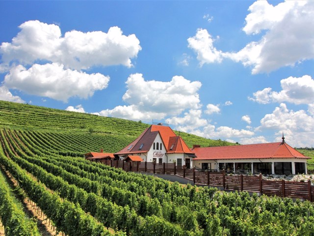
Berehovo district is located in the southwestern part of the Transcarpathian region, on the south it borders with Hungary and Romania. The Borzhava and Tisa rivers flow within the district. Chorna Hora Botanical Reserve is one of the protected areas of the Carpathian Biosphere Reserve.
Beregivshchyna is the main wine-growing region and the center of Hungarian culture o... Read more
Berehovo district is located in the southwestern part of the Transcarpathian region, on the south it borders with Hungary and Romania. The Borzhava and Tisa rivers flow within the district. Chorna Hora Botanical Reserve is one of the protected areas of the Carpathian Biosphere Reserve.
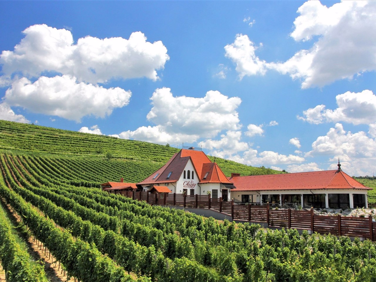
Beregivshchyna is the main wine-growing region and the center of Hungarian culture of Transcarpathia, and is also famous for its thermal springs. There are such historical and cultural monuments as Vynohradiv Castle "Kankiv" and Pereni Palace in Vynohradiv, Royal Castle, Count's Court with the Museum of Berehiv Region, Borzhavska Narrow Gauge Railway. Excursions and tastings are held at the Chateau Chizay winery and private winemakers, as well as at the largest Transcarpathian buffalo farm "Carpathian Buffalo". Popular recreational centers are the complex of thermal pools "Kosino", hotel and health complex "Kosino", medical and health complex "Eco-Thermal".
The administrative center of Berehovo district is the city of Berehove. The area of the district is almost 1450 square kilometers. The population of the district reaches 210 thousand people.
Berehiv district consists of 105 settlements, which are united in 10 territorial hromadas: Berehiv, Vynohradiv city, Velykoberezka, Velykobyhanska, Kosonska, Piyterfolivska, Kamyanska rural, Bativska, Vylotska, Korolivska settlement amalgamated hromadas.
Khust district
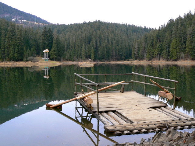
Khust district is located in the central part of the Transcarpathian region, on the south it borders with Romania. The rivers Tisza and Rika flow within the district. The nature of the mountainous areas of the district is protected by the national nature parks "Synevyr" and "Enchanted Land". The Daffodil Valley Reserve in the Kireshi tract is part of the ... Read more
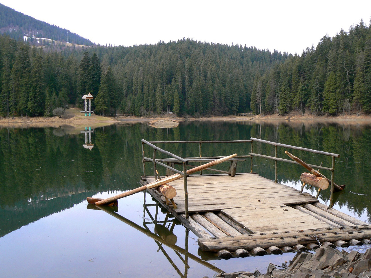
Khust district is located in the central part of the Transcarpathian region, on the south it borders with Romania. The rivers Tisza and Rika flow within the district. The nature of the mountainous areas of the district is protected by the national nature parks "Synevyr" and "Enchanted Land". The Daffodil Valley Reserve in the Kireshi tract is part of the Carpathian Biosphere Reserve.
On the territory of the district there are such historical and cultural monuments as Khust Castle and Elizabethan Church in Khust, defensive Reformed Church in Vyshkov, wooden churches in Kraynikov, Danilov, Sokyrnitsa, Alexandrovka, open-air museum in Kolochava. Khust region is the main ski region of Transcarpathia - ski resorts operate in Pylypets, Podobovka, Izki and others.
The administrative center of Khust district is the city of Khust. The area of the district is almost 3175 square kilometers. The population of the district reaches 270 thousand people.
Khust district consists of 143 settlements, which are united in 13 territorial hromadas: Khust, Irshava, Bilkiv, Dovzhansk, Zarichansk, Kolochav, Pylypetsk, Synevyr, Keretsk, Gorinchiv, Drahiv rural, Mizhhirya, Vyshkiv.

Mukachevo district
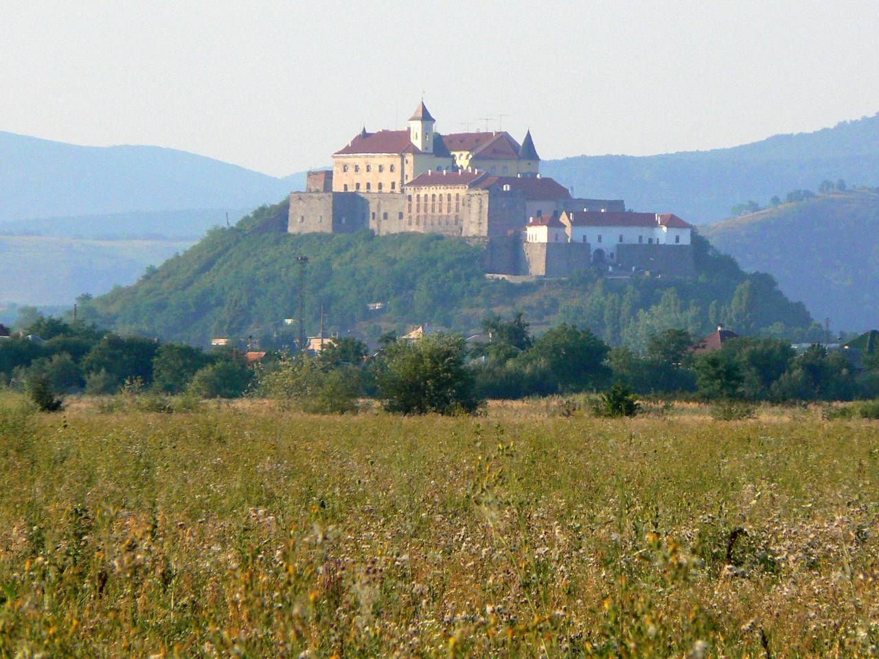
Mukachevo district is located in the central part of the Transcarpathian region. The Latorytsia River flows within the district. An interesting object of the nature reserve fund is the arboretum of local significance "Berezinka". There are such historical and cultural monuments as Mukachevo Castle "Palanok", Chinadiyevsky Castle "St. Miklosh", t... Read more
Mukachevo district is located in the central part of the Transcarpathian region. The Latorytsia River flows within the district. An interesting object of the nature reserve fund is the arboretum of local significance "Berezinka". There are such historical and cultural monuments as Mukachevo Castle "Palanok", Chinadiyevsky Castle "St. Miklosh", the palace of the Counts of Schönborn "Beregvar". The main recreational centers are the balneological resorts of Polyana and Svalyava.
The administrative center of Mukachevo district is the city of Mukachevo. The area of the district is 2054 square kilometers. The population of the district reaches 255 thousand people.
Mukachevo district includes 142 settlements, which are united in 13 territorial hromadas: Mukachevo, Svalyava city, Nizhnevoritskaya, Velykoluchkivska, Verkhnokoropetskaya, Gorondivskaya, Ivanovetskaya, Nelipinskaya, Polyanskaya rural, Volovetskaya, Zhdenialivshchina, Choridinyiv, Kolidin.
Rakhiv district
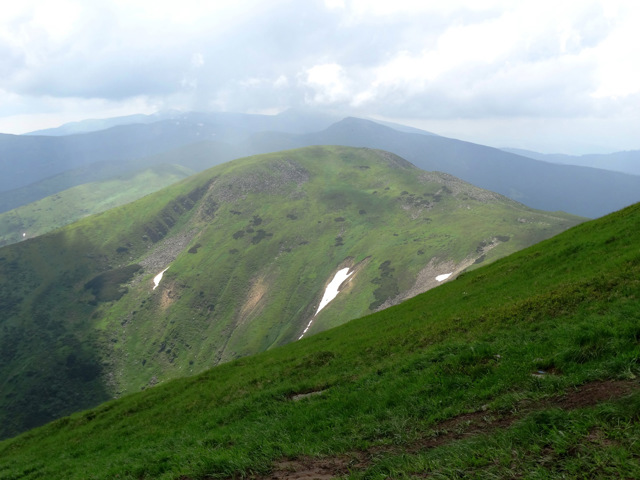
Rakhiv district is located in the eastern part of the Transcarpathian region, bordering Romania to the south. It covers the highest part of the Ukrainian Carpathians - the Montenegrin massif, where the highest peak of Ukraine is located - Mount Hoverla. The nature of these areas is protected by the Carpathian Biosphere Reserve with Svydovets and Chornohirsky protected areas ... Read more
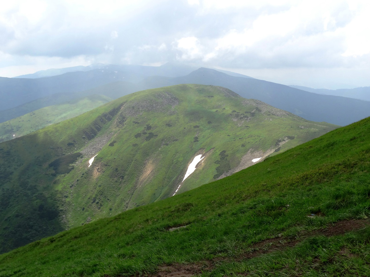
Rakhiv district is located in the eastern part of the Transcarpathian region, bordering Romania to the south. It covers the highest part of the Ukrainian Carpathians - the Montenegrin massif, where the highest peak of Ukraine is located - Mount Hoverla. The nature of these areas is protected by the Carpathian Biosphere Reserve with Svydovets and Chornohirsky protected areas - one of the largest areas of Beech virgin forests of the Carpathians, a UNESCO World Heritage Site.
The former Polish White Elephant Observatory is located on Mount Pip-Ivan Chornohirsky, where the Yavirnytsya Search and Rescue Department of the State Emergency Service now operates. Dragobrat ski resort is the highest in the Ukrainian Carpathians, the season here sometimes lasts from December to March. A memorial sign "Center of Europe" was erected near the village of Dilove in Austrian times. The wooden Mykolayiv Church in the village of Seredne Vodiane is considered to be the oldest religious building in Transcarpathia and Ukraine. At the springs of mineral waters in Kvasy there is a balneological sanatorium "Mountain Tisza".
The administrative center of Rakhiv district is the city of Rakhiv. The area of the district is more than 1845 square kilometers. The population of the district reaches 83 thousand people.
Rakhiv district consists of 29 settlements, which are united into 4 territorial hromadas: Rakhiv city, Bohdan village, Velykobychkivska, Yasinyanska settlement amalgamated hromadas.
Tiachiv district
Tyachiv district is located in the eastern part of the Transcarpathian region, bordering Romania to the south. The Tisza River flows within the district. The nature of part of the mountainous areas of the district is protected by the Carpathian Biosphere Reserve. There are 67 mineral springs, including thermal. Solotvyno Lakes have a great recreational potential on the site ... Read more
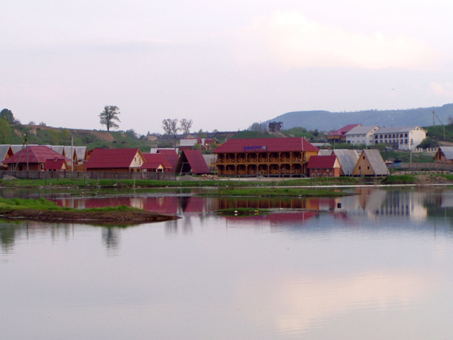
Tyachiv district is located in the eastern part of the Transcarpathian region, bordering Romania to the south. The Tisza River flows within the district. The nature of part of the mountainous areas of the district is protected by the Carpathian Biosphere Reserve. There are 67 mineral springs, including thermal. Solotvyno Lakes have a great recreational potential on the site of the former salt fisheries in the village of Solotvino, which is a popular summer resort.
The administrative center of Tyachiv district is the city of Tyachiv. The area of the district is almost 1870 square kilometers. The population of the district reaches 185 thousand people.
Tyachiv district consists of 64 settlements, which are united into 10 territorial hromadas: Tyachiv city, Bedevlyanska, Vilkhovetska, Neresnytska, Uglyanska rural, Bushtynska, Dubivska, Solotvynska, Teresvyanska, Ust-Chornyanska settlement amalgamated hromadas.
Uzhhorod district
Uzhhorod district is located in the north-western part of the Transcarpathian region, borders simultaneously with Hungary, Slovakia and Poland. The rivers Uzh and Latorytsia flow within the district. The Uzhansky National Nature Park has been created in the upper reaches of the Uzh River, which in particular protects one of the largest areas of the Carpathian Beech virgin fo... Read more
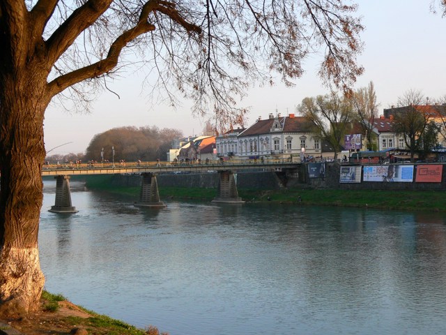
Uzhhorod district is located in the north-western part of the Transcarpathian region, borders simultaneously with Hungary, Slovakia and Poland. The rivers Uzh and Latorytsia flow within the district. The Uzhansky National Nature Park has been created in the upper reaches of the Uzh River, which in particular protects one of the largest areas of the Carpathian Beech virgin forests, a UNESCO World Heritage Site.
Here are such historical and cultural monuments as Uzhgorod Castle, Nevytsky Castle, Middle Castle, Exaltation of the Cross Cathedral and the Mountain Rotunda in Uzhgorod. Folk architecture and life of the peoples of Transcarpathia are presented in the Uzhgorod open-air museum. A popular spa resort is the mountain village of Lumshory, and near Velykyi Berezny there is a ski resort Krasiya.
The administrative center of Uzhhorod district is the regional center, the city of Uzhhorod. The area of the district is almost 2360 square kilometers. The population of the district reaches 108 thousand people.
The Uzhhorod district includes 125 settlements, which are united in 14 territorial hromadas: Uzhhorod, Chop, Perechyn urban, Kostryn, Stavne, Dubrynytsia-Malobereznyanska, Turie-Remetivska, Baranynska, Velykodobronska, Onokivska, Syurtkivska, Khol Velykobereznyanska, Serednyanska settlement amalgamated hromadas.
