Functional temporarily unavailable
Cities and villages of Kalush district
Online travel guide to the settlements of Kalush district
General information about Kalush district
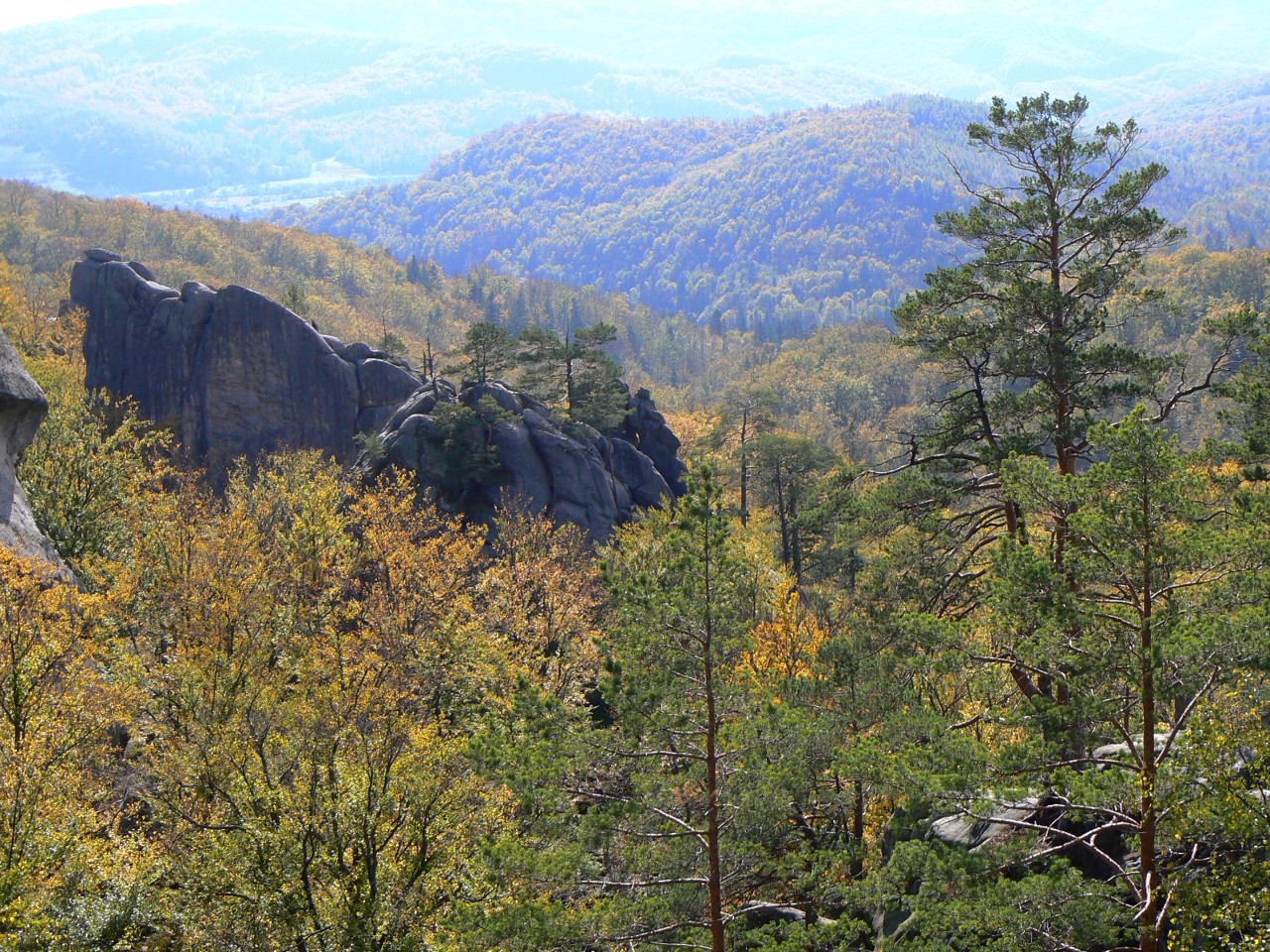
Kalush district is located in the western part of Ivano-Frankivsk region, on the historical and ethnographic lands of Galicia and Prykarpattia. The northern boundary of the district runs along the Dniester, and within the district its tributaries flow - the rivers Limnytsia and Svicha. Here are the Regional Landscape Park "Polyanytsky", reserves of national importance "Yaykivsky", "Turova dacha" and "Grofa", a complex natural monument of national importance "Dovbush Rocks" with artificial caves and others. A popular tourist attraction is the Vyhoda narrow-gauge railway "Carpathian Tram" with a visitor center and the museum "Heritage Center of the Vyhoda Narrow Gauge Railway". Among the historical and cultural monument ...
Kalush district is located in the western part of Ivano-Frankivsk region, on the historical and ethnographic lands of Galicia and Prykarpattia. The northern boundary of the district runs along the Dniester, and within the district its tributaries flow - the rivers Limnytsia and Svicha. Here are the Regional Landscape Park "Polyanytsky", reserves of national importance "Yaykivsky", "Turova dacha" and "Grofa", a complex natural monument of national importance "Dovbush Rocks" with artificial caves and others. A popular tourist attraction is the Vyhoda narrow-gauge railway "Carpathian Tram" with a visitor center and the museum "Heritage Center of the Vyhoda Narrow Gauge Railway". Among the historical and cultural monuments, the Historical and Memorial Museum of Stepan Bandera in Staryi Uhrynov, the Hoshiv Basilian Monastery of the Transfiguration, and the Bolekhiv Town Hall deserve the most attention.
The administrative center of Kalush district is the city of Kalush. The area of the district is 3555 square kilometers. The population of the district exceeds 285 thousand people.
The Kalush district consists of 319 settlements, which are united in 20 territorial hromadas: Bolekhiv, Kalush, Dolyna urban, Vyhodska, Voynylivska, Broshniv-Osadska, Perehinska, Rozhnyativska settlements, Vytvytska, Verkhnyanska, Novytska, Dubivska, Hromansky rural amalgamated hromadas.
Калуський район розташований у західній частині Івано-Франківської області, на історико-етнографічних землях Галичини та Прикарпаття. Північна межа району проходить по Дністру, а в межах району протікають його притоки – річки Лімниця та Свіча. Тут розташовані Регіональний ландшафтний парк "Поляницький", заказники загальнодержавного значення "Яйківський", "Турова дача" та "Грофа", комплексна пам'ятка природи загальнодержавного значення "Скелі Довбуша" зі штучними печерами та ін. Популярним туристичним об'єктом є Вигодська вузькоколійна залізниця "Карпатський трамвай" з візит-центром і музеєм "Центр спадщини Вигодської вузькоколійки". Серед історико-культурних пам'яток найбільшої уваги заслуговують Іст ...
Калуський район розташований у західній частині Івано-Франківської області, на історико-етнографічних землях Галичини та Прикарпаття. Північна межа району проходить по Дністру, а в межах району протікають його притоки – річки Лімниця та Свіча. Тут розташовані Регіональний ландшафтний парк "Поляницький", заказники загальнодержавного значення "Яйківський", "Турова дача" та "Грофа", комплексна пам'ятка природи загальнодержавного значення "Скелі Довбуша" зі штучними печерами та ін. Популярним туристичним об'єктом є Вигодська вузькоколійна залізниця "Карпатський трамвай" з візит-центром і музеєм "Центр спадщини Вигодської вузькоколійки". Серед історико-культурних пам'яток найбільшої уваги заслуговують Історико-меморіальний музей Степана Бандери в Старому Угринові, Гошівський Василіянський монастир Преображення Господнього, Болехівська ратуша.
Адміністративним центром Калуського району є місто Калуш. Площа території району становить 3555 квадратних кілометрів. Чисельність населення району перевищує 285 тисяч осіб.
До складу Калуського району входять 319 населених пунктів, які об'єднані у 20 територіальних громад: Болехівська, Калуська, Долинська міські, Вигодська, Войнилівська, Брошнів-Осадська, Перегінська, Рожнятівська селищні, Витвицька, Верхнянська, Новицька, Дубівська, Спаська сільські територіальні громади.


