Functional temporarily unavailable
Cities and villages of Vasyliv district
Online travel guide to the settlements of Vasyliv district
General information about Vasyliv district
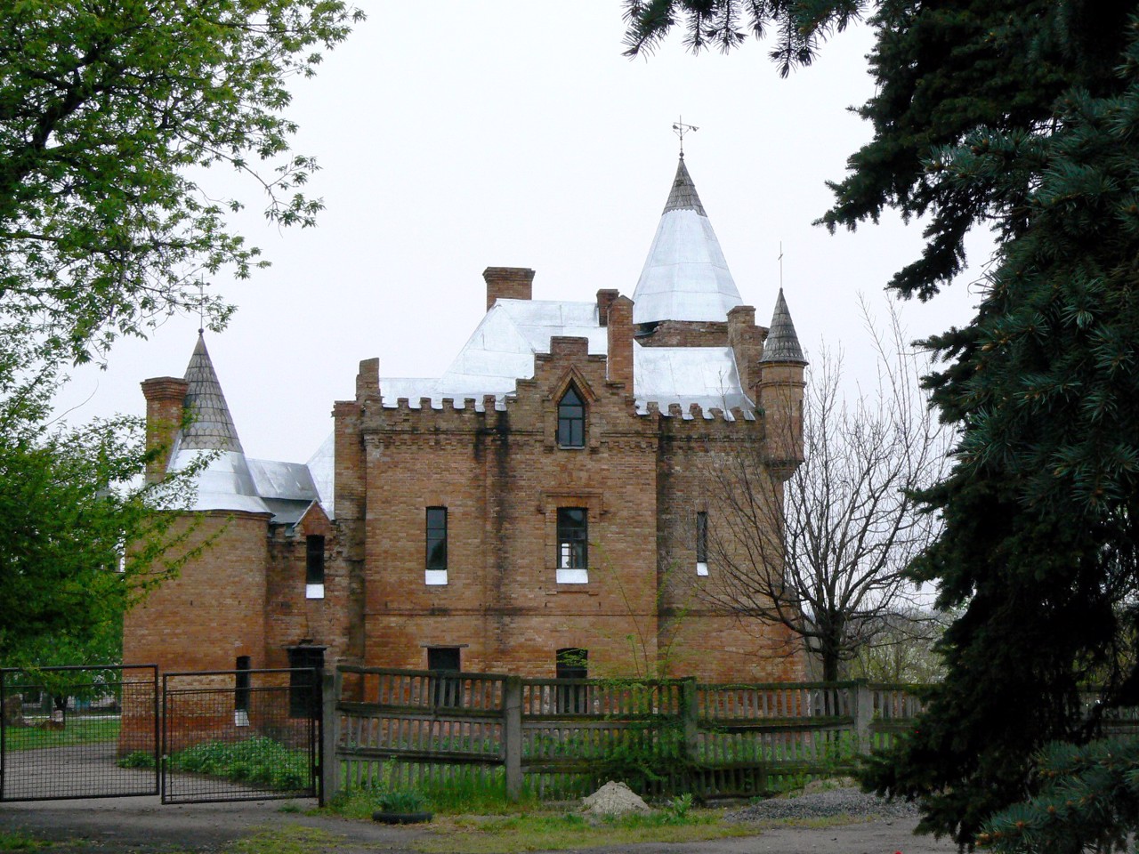
Vasyliv district is located in the western part of Zaporizhia region, on the historical and ethnographic territory of the Middle Dnieper. From the north it is washed by the waters of the Kakhovka Reservoir on the Dnipro. Within the district there is a part of the National Natural Park "Big Meadow", reserves of national importance "Steep slopes of the Kakhovka reservoir", "Belozirskoe tract", "Big and Small Kuchugury". There are such historical and cultural monuments as the Vasylkiv Historical and Architectural Museum-Reserve "Popov's Manor", the Mamay-Hora mound cemetery.
The administrative center of Vasylivka district is the city of Vasylivka. The area of the district is 4287 square kilometers. The population of the district r ...
Vasyliv district is located in the western part of Zaporizhia region, on the historical and ethnographic territory of the Middle Dnieper. From the north it is washed by the waters of the Kakhovka Reservoir on the Dnipro. Within the district there is a part of the National Natural Park "Big Meadow", reserves of national importance "Steep slopes of the Kakhovka reservoir", "Belozirskoe tract", "Big and Small Kuchugury". There are such historical and cultural monuments as the Vasylkiv Historical and Architectural Museum-Reserve "Popov's Manor", the Mamay-Hora mound cemetery.
The administrative center of Vasylivka district is the city of Vasylivka. The area of the district is 4287 square kilometers. The population of the district reaches 190 thousand people.
The Vasyliv district includes 109 settlements, which are united into 11 territorial communities: Energodar, Vasyliv, Dniprorudne, Kamyansko-Dniprovska urban, Stepnogirska, Mykhailivska settlements, Malobilozerska, Velykobilozerska, Rozdolska, Blagoveshchenskaya, Vodiani rural.
Василівський район розташований у західній частині Запорізької області, на історико-етнографічній території Середнього Подніпров'я. З півночі омивається водами Каховського водосховища на Дніпрі. В межах району розташована частина Національного природного парку "Великий Луг", заказники загальнодержавного значення "Крутосхили Каховського водосховища", "Урочище Білозірське", "Великі та Малі Кучугури". Тут знаходяться такі історико-культурні пам'ятки, як Васильківський історико-архітектурний музей-заповідник "Садиба Попова", курганний могильник Мамай-Гора.
Адміністративним центром Василівського району є місто Василівка. Площа території району становить 4287 квадратних кілометрів. Чисельність населення району сягає 190 тисяч осі ...
Василівський район розташований у західній частині Запорізької області, на історико-етнографічній території Середнього Подніпров'я. З півночі омивається водами Каховського водосховища на Дніпрі. В межах району розташована частина Національного природного парку "Великий Луг", заказники загальнодержавного значення "Крутосхили Каховського водосховища", "Урочище Білозірське", "Великі та Малі Кучугури". Тут знаходяться такі історико-культурні пам'ятки, як Васильківський історико-архітектурний музей-заповідник "Садиба Попова", курганний могильник Мамай-Гора.
Адміністративним центром Василівського району є місто Василівка. Площа території району становить 4287 квадратних кілометрів. Чисельність населення району сягає 190 тисяч осіб.
До складу Василівського району входять 109 населених пунктів, які об'єднані у 11 територіальних громад: Енергодарська, Василівська, Дніпрорудненська, Кам'янсько-Дніпровська міські, Степногірська, Михайлівська селищні, Малобілозерська, Великобілозерська, Роздольська, Благовіщенська, Водянська сільські територіальні громади.


