Functional temporarily unavailable
Cities and villages of Kolomyia district
Online travel guide to the settlements of Kolomyia district
General information about Kolomyia district
Kolomyia district is located in the eastern part of Ivano-Frankivsk region, in the historical and ethnographic territories of Pokuttya and Hutsul region, between the rivers Dniester, Cheremosh and Carpathians. Within the district there is a part of the National Nature Park "Hutsulshchyna" and Knyazhdvirsky Reserve of national importance. Here are such historical and cultural monuments as the National Museum of Folk Art of Hutsul and Pokuttya. Josaphat Kobrynsky with the Museum of Easter Egg Painting, the oldest wooden Hutsul Church of the Annunciation of the Blessed Virgin Mary, the Church of the Immaculate Conception with sculptures by Pinzel and the Armenian Church in Horodenka, Sniatyn Town Hall. On the Dniester near the villages of Rakovets and Luka, water tourism is devel ...
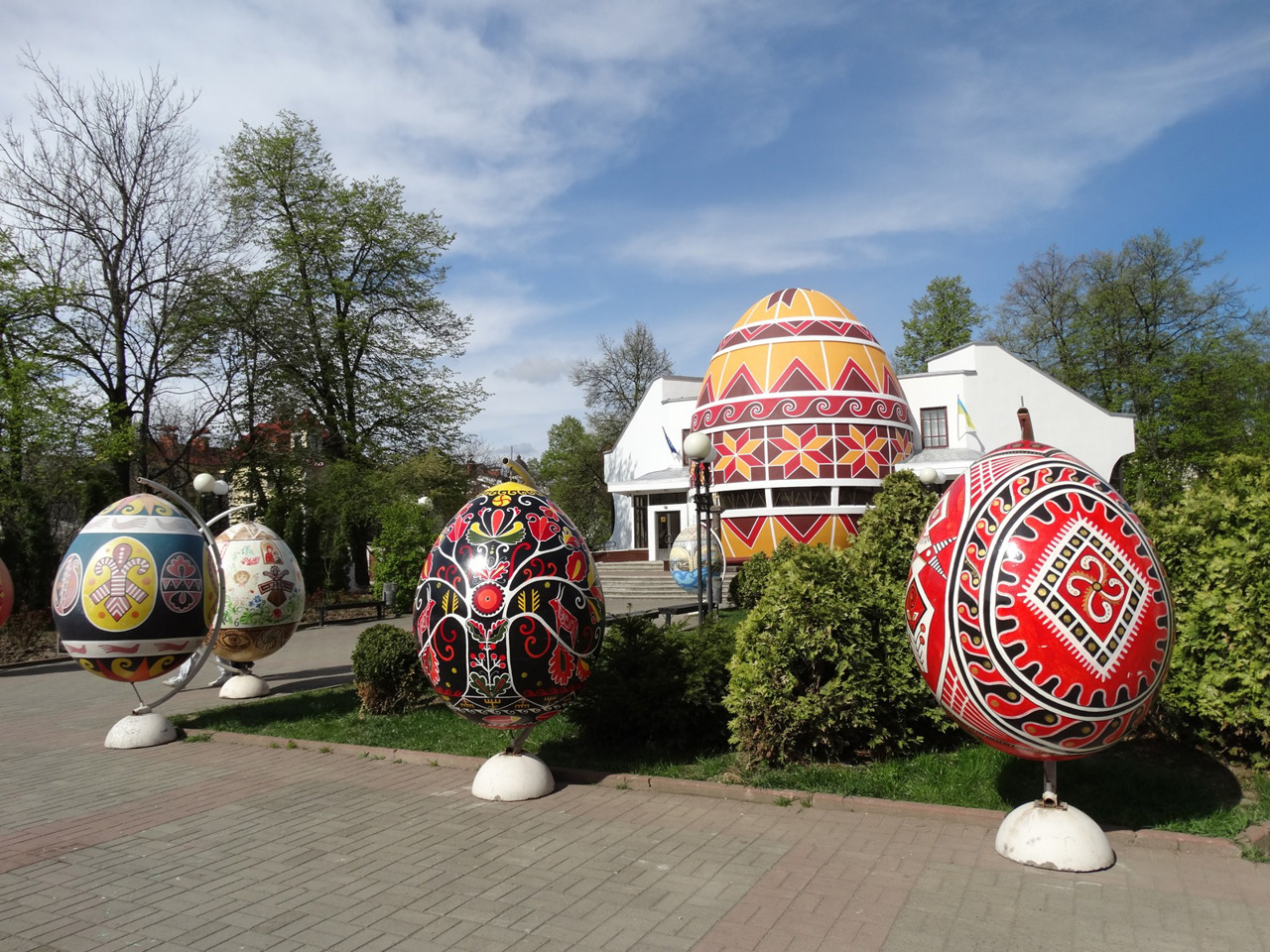
Kolomyia district is located in the eastern part of Ivano-Frankivsk region, in the historical and ethnographic territories of Pokuttya and Hutsul region, between the rivers Dniester, Cheremosh and Carpathians. Within the district there is a part of the National Nature Park "Hutsulshchyna" and Knyazhdvirsky Reserve of national importance. Here are such historical and cultural monuments as the National Museum of Folk Art of Hutsul and Pokuttya. Josaphat Kobrynsky with the Museum of Easter Egg Painting, the oldest wooden Hutsul Church of the Annunciation of the Blessed Virgin Mary, the Church of the Immaculate Conception with sculptures by Pinzel and the Armenian Church in Horodenka, Sniatyn Town Hall. On the Dniester near the villages of Rakovets and Luka, water tourism is developing: rafting and kayaking, cruise ships, campsites.
The administrative center of Kolomyia district is the city of Kolomyia. The area of the district is almost 2485 square kilometers. The population of the district reaches 280 thousand people.
The Kolomyia district includes 190 settlements, which are united into 13 territorial hromadas: Kolomyia, Horodenka, Sniatyn cities, Chernelytsia, Hvizdetska, Otyniya, Pechenizhynska, Zabolotivska settlements, Korshivska, Mateivetska, Nyzhnyoverchykivska, Pidzhnyaverchykivska rural amalgamated hromadas.
Коломийський район розташований у східній частині Івано-Франківської області, на історико-етнографічних територіях Покуття і Гуцульщини, між річками Дністром, Черемошем та Карпатами. В межах району знаходиться частина Національного природного парку "Гуцульщина" та Княждвірський заказник загальнодержавного значення. Тут розташовані такі історико-культурні пам'ятки, як Національний музей народного мистецтва Гуцульщини та Покуття ім. Йосафата Кобринського з Музеєм писанкового розпису, найстаріша дерев'яна гуцульська церква Благовіщення Пречистої Діви Марії, костел Непорочного Зачаття зі скульптурами Пінзеля та Вірменський костел у Городенці, Снятинська ратуша. На Дністрі біля сіл Раковець і Лука розвивається водний туризм: сплави на плотах і байдарках, круїзні кораблики, ...
Коломийський район розташований у східній частині Івано-Франківської області, на історико-етнографічних територіях Покуття і Гуцульщини, між річками Дністром, Черемошем та Карпатами. В межах району знаходиться частина Національного природного парку "Гуцульщина" та Княждвірський заказник загальнодержавного значення. Тут розташовані такі історико-культурні пам'ятки, як Національний музей народного мистецтва Гуцульщини та Покуття ім. Йосафата Кобринського з Музеєм писанкового розпису, найстаріша дерев'яна гуцульська церква Благовіщення Пречистої Діви Марії, костел Непорочного Зачаття зі скульптурами Пінзеля та Вірменський костел у Городенці, Снятинська ратуша. На Дністрі біля сіл Раковець і Лука розвивається водний туризм: сплави на плотах і байдарках, круїзні кораблики, кемпінги.
Адміністративним центром Коломийського району є місто Коломия. Площа території району становить майже 2485 квадратних кілометрів. Чисельність населення району сягає 280 тисяч осіб.
До складу Коломийського району входять 190 населених пунктів, які об'єднані у 13 територіальних громад: Коломийська, Городенківська, Снятинська міські, Чернелицька, Гвіздецька, Отинійська, Печеніжинська, Заболотівська селищні, Коршівська, Матеївецька, Нижньовербізька, Підгайчиківська, П'ядицька сільські територіальні громади.


