Functional temporarily unavailable
Settlements
Kherson region
Cities and villages of
Kherson region
Online travel guide to the settlements of
Kherson region

Districts of Kherson region
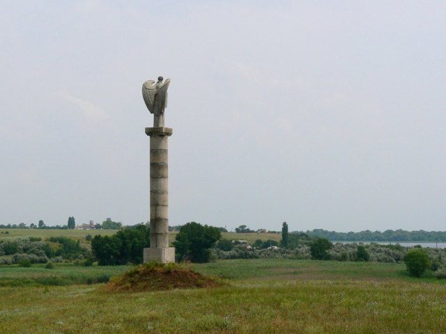
Beryslav district
Beryslav district is located in the northern part of Kherson region, in the historical and ethnographic regions of the Black Sea coast and the Middle Dnipro. The south-eastern border runs along the Dnipro and Kakhovka reservoirs.
In the XVII century. the south-eastern borders of the Grand Duchy of Lithuania reached here, as the medieval watchtower "Vytautas Custom... Read more
Beryslav district is located in the northern part of Kherson region, in the historical and ethnographic regions of the Black Sea coast and the Middle Dnipro. The south-eastern border runs along the Dnipro and Kakhovka reservoirs.
In the XVII century. the south-eastern borders of the Grand Duchy of Lithuania reached here, as the medieval watchtower "Vytautas Customs" in Vesely reminds us. Traces of later Turkish and Cossack fortresses have been preserved in the village of Tyahynka and the town of Beryslav, which is the administrative center of the Beryslav district. The Protestant church of the Apostle John in the village of Zmiivka was built in the XIX century. at the expense of Swedish settlers from the Baltic island of Dage.
The area of the district is 4764 square kilometers. The population of the district reaches 100 thousand people.
The Beryslav district includes 151 settlements, which are united into 11 territorial hromadas: Beryslav city, Velykooleksandrivska, Kalynivska, Vysokopilska, Novovorontsovska settlements, Mylivska, Novorayska, Tyagynska, Borozenska, Kochubeivska, Novooleksandrivska rural amalgamated hromadas.
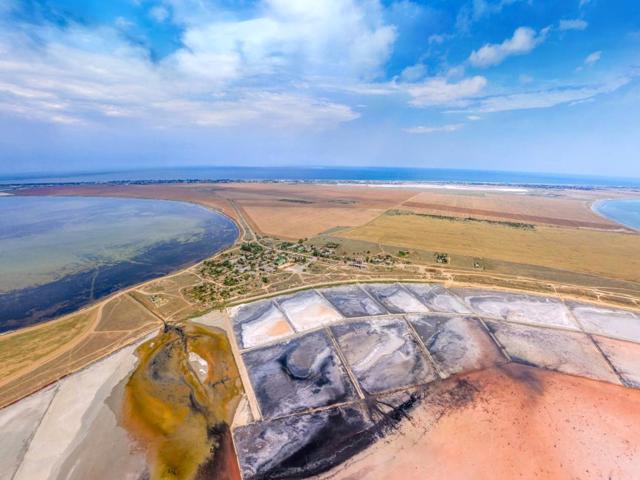
Henichesk district
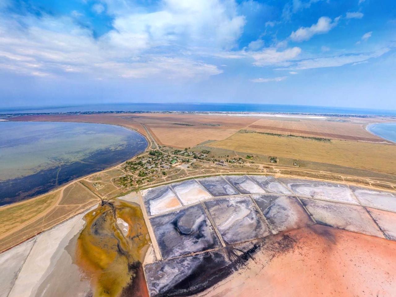
Genichesk district is located in the south-eastern part of the Kherson region, in the historical and ethnographic region of the Azov region. From the southeast it is washed by the waters of the Sea of Azov, and from the south by the Sivash Bay, which is separated from the sea by the Arabat Arrow. This is a whole system of small shallow salt bays, among which are the famous P... Read more
Genichesk district is located in the south-eastern part of the Kherson region, in the historical and ethnographic region of the Azov region. From the southeast it is washed by the waters of the Sea of Azov, and from the south by the Sivash Bay, which is separated from the sea by the Arabat Arrow. This is a whole system of small shallow salt bays, among which are the famous Pink Lakes. The nature of Sivash is protected by the Azov-Sivas National Nature Park.
The administrative center of Henichesk district is the city of Henichesk. From it begins a large resort area of Arabatskaya Strelka, famous for its wide sandy beaches, thermal springs and therapeutic mud. The mud of Lemuria Pink Lake near Hryhorivka also has healing properties.
The area of the district is more than 6520 square kilometers. The population of the district reaches 122 thousand people.
The Henichesk district consists of 165 settlements, which are united into 4 territorial hromadas: Henichesk city, Ivanivska, Nyzhnosirogozka, Novotroitska settlement amalgamated hromadas.
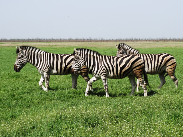
Kakhovka district
Kakhovka district is located in the central part of the Kherson region, in the historical and ethnographic region of the Azov region. The north-western border runs along the Dnipro and Kakhovka reservoirs.
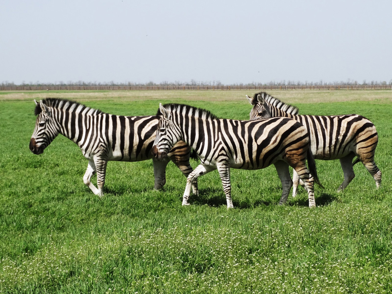
Here is the world-famous biosphere reserve "Askania-Nova" with wild African animals, founded by Baron Friedrich Falz-Fein in the late XIX century. At the s... Read more
Kakhovka district is located in the central part of the Kherson region, in the historical and ethnographic region of the Azov region. The north-western border runs along the Dnipro and Kakhovka reservoirs.
Here is the world-famous biosphere reserve "Askania-Nova" with wild African animals, founded by Baron Friedrich Falz-Fein in the late XIX century. At the same time, on the initiative of Prince Peter Trubetsky, viticulture and winemaking began to develop in these lands. The winery, founded by the prince, still works and receives visitors on excursions, while the Trubetsky Palace in Kozatsky stands in ruins. Tastings are also held by the House of Vintage Cognacs "Tavria".
The administrative center of Kakhovka district is the city of Nova Kakhovka, founded in Ser. XX century as a town of power engineers of Kakhovka HPP. An important part of the historical and cultural heritage of the region is the "stone embroideries" - a special decor of the buildings of Nova Kakhovka.
The area of the district is almost 6290 square kilometers. The population of the district reaches 225 thousand people.
The Kakhovka district consists of 162 settlements, which are united in 15 territorial hromadas: Kakhovka, Novokakhovskaya, Tavriya city, Velykolepetyska, Verkhnorogachytska, Hornostaivska, Lyubimivska, Askania-Nova, Chaplynska village, Rubanivska, Kostiantynivska, Pryvryska, Zelenopidska Khrestivska rural amalgamated hromadas.
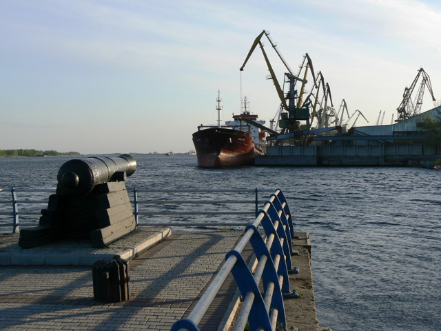
Kherson district
Kherson district is located in the western part of the Kherson region, in the historical and ethnographic region of the Black Sea coast. The Dnipro River flows within the district. On the coast of the Dnipro estuary near the village of Stanislav, the Stanislav Landscape Reserve of national importance was created, which is called "Kherson Mountains" or "Kherson... Read more
Kherson district is located in the western part of the Kherson region, in the historical and ethnographic region of the Black Sea coast. The Dnipro River flows within the district. On the coast of the Dnipro estuary near the village of Stanislav, the Stanislav Landscape Reserve of national importance was created, which is called "Kherson Mountains" or "Kherson Grand Canyon" for its characteristic relief. A popular tourist location is also the National Natural Park "Oleshkiv Sands" on the basis of the largest natural sand massif in Europe, near the town of Oleshkiv.
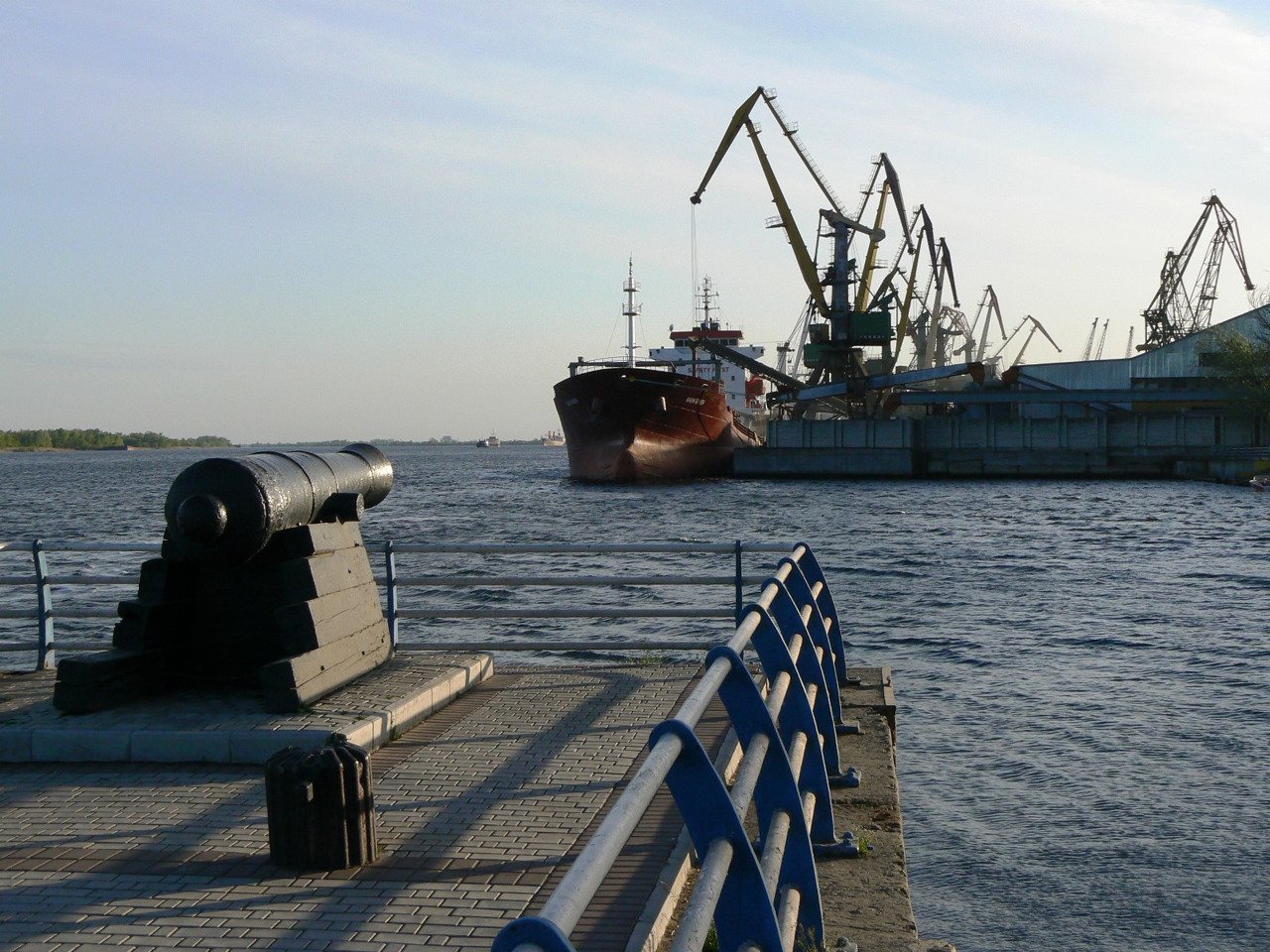
The administrative center of Kherson district is the regional center, the historic city of Kherson. Fragments of the Kherson fortress of Catherine's time, St. Catherine's (Savior's) Cathedral with the tomb of Prince Grigory Potemkin, several other ancient temples and administrative buildings of the XIX century are preserved here.
The area of the district is almost 3650 square kilometers. The population of the district reaches 465 thousand people.
The Kherson district consists of 106 settlements, which are united into 10 territorial hromadas: Oleshkivska and Kherson city, Belozerska settlement, Velykokopanivska, Vynohradivska, Daryivska, Muzykivska, Stanislavska, Chornobayivska, Jubileyna rural amalgamated hromadas.
Skadovsk district
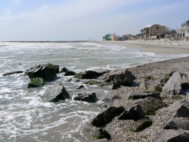
Skadovsk district is located in the southwestern part of the Kherson region, in the historical and ethnographic region of the Black Sea coast. It is washed by the waters of the Black Sea from the south, and from the northeast by the Dniproand the Dnipro-Bug estuary. The nature of the water area and small islands of Tendrivska and Yahorlytska bays is protected by the Black Se... Read more
Skadovsk district is located in the southwestern part of the Kherson region, in the historical and ethnographic region of the Black Sea coast. It is washed by the waters of the Black Sea from the south, and from the northeast by the Dniproand the Dnipro-Bug estuary. The nature of the water area and small islands of Tendrivska and Yahorlytska bays is protected by the Black Sea Biosphere Reserve.
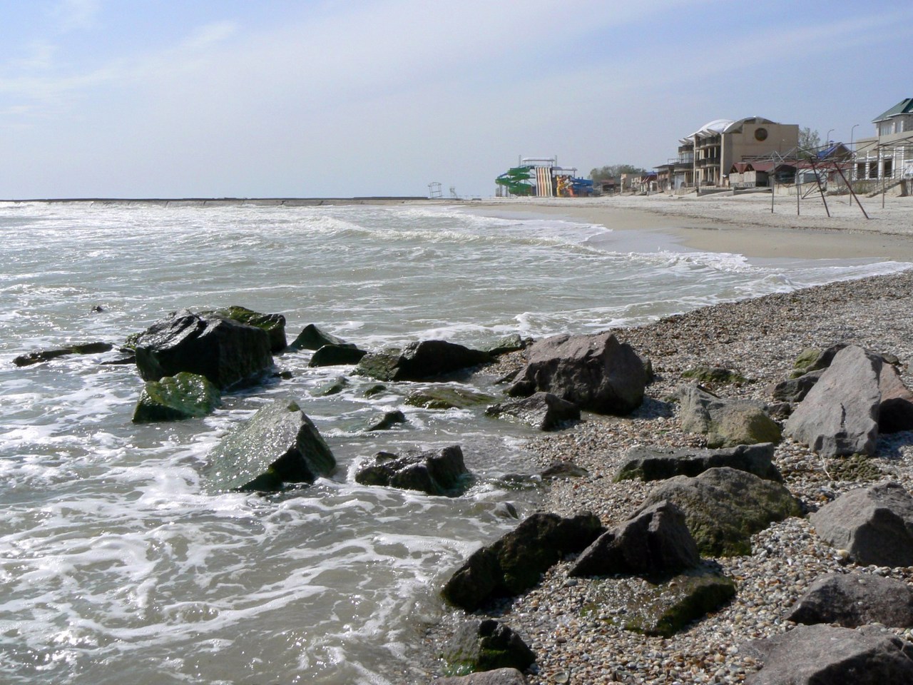
This is the main resort area of Kherson region. Along the southern coast are the famous seaside resorts of Iron Port, Lazurne, Horly and children's health resort Skadovsk, which is also a port and administrative center of Skadovsk district. A popular recreational area is the island of Dzharilgach, which is part of the Dzharilgach National Nature Park. The water of the "Hot Key" geyser in Obloye has healing properties. Historical monuments are St. George's Church in Malaya Kardashinka, Falz-Fein crypt in the New Black Sea, Dzharilgatsky lighthouse and Adzhigolsky hyperboloid lighthouse. Gola Pier is considered the informal capital of Kherson watermelons.
The area of the district is almost 5250 square kilometers. The population of the district reaches 127 thousand people.
Skadovsk district includes 114 settlements, which are united into 9 territorial hromadas: Holoprystanska, Skadovska city, Kalanchatska, Myrnenska, Lazurnenska village, Bekhterska, Dolmativska, Chulakivska, Novomykolaivska rural amalgamated hromadas.
