Functional temporarily unavailable
Settlements
Donetsk region
Cities and villages of
Donetsk region
Online travel guide to the settlements of
Donetsk region

Districts of Donetsk region
Bakhmut district
Bakhmut district is located in the northeastern part of Donetsk region, in the historical and ethnographic territory of Slobozhanshchina. The river Bakhmutivka (Bakhmut) flows within the district. Bakhmut region is a center of salt production and winemaking. Here are the salt mines of the state enterprise "Artemsil" and the underground storages of the sparkling win... Read more
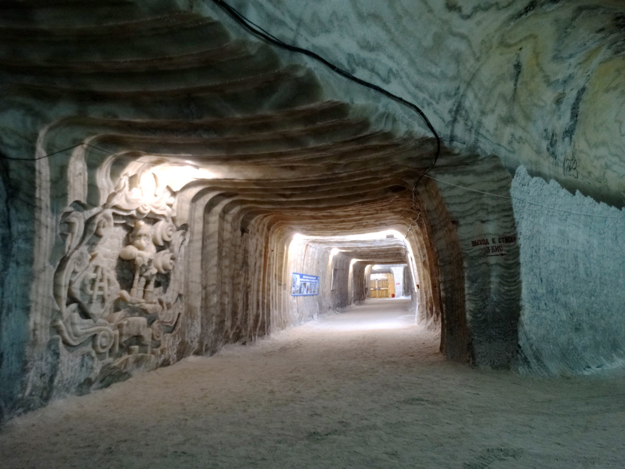
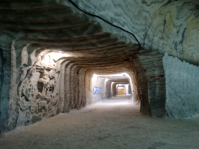
Bakhmut district is located in the northeastern part of Donetsk region, in the historical and ethnographic territory of Slobozhanshchina. The river Bakhmutivka (Bakhmut) flows within the district. Bakhmut region is a center of salt production and winemaking. Here are the salt mines of the state enterprise "Artemsil" and the underground storages of the sparkling wine factory "Artvineyri", which are the main locations of the tourist route "The path marked by salt".
The administrative center of Bakhmut district is the city of Bakhmut. The area of the district is almost 1750 square kilometers. The population of the district exceeds 210 thousand people.
Bakhmut district consists of 111 settlements, which are united into 7 territorial hromadas: Bakhmut, Svitlodar, Siversk, Soledar, Toretsk, Chasovoyarsk city and Zvaniv village amalgamated hromadas.
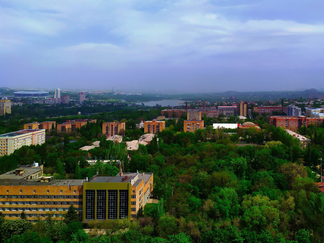
Donetsk district
Donetsk district is located in the central part of Donetsk region, on the historical and ethnographic territory of Slobozhanshchyna. The rivers Kalmius and Bakhmutka flow within the district. The area is located in the temporarily occupied territory of ORDLO.
The administrative center of Donetsk district is the regional center, the city of Donetsk. The area of the dist... Read more
Donetsk district is located in the central part of Donetsk region, on the historical and ethnographic territory of Slobozhanshchyna. The rivers Kalmius and Bakhmutka flow within the district. The area is located in the temporarily occupied territory of ORDLO.
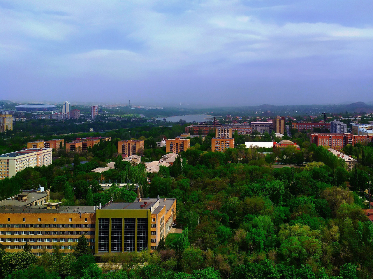
The administrative center of Donetsk district is the regional center, the city of Donetsk. The area of the district is more than 2895 square kilometers. The population of the district exceeds 1.5 million people.
Donetsk district consists of 152 settlements, which are united into 6 amalgamated hromadas: Amvrosiyivska, Donetsk, Ilovayska, Makeyevka, Khartsyzsk and Yasynuvata city hromadas.
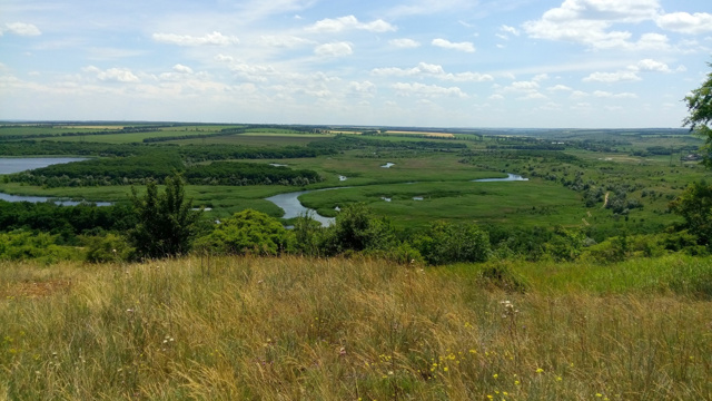
Horlivka district
Horlivka district is located in the eastern part of Donetsk region, on the historical and ethnographic territory of Slobozhanshchyna. Located in the temporarily occupied territory of ORDLO.
The administrative center of Horlivka district is the city of Horlivka. The area of the district is 2468 square kilometers. The population of the district reaches 280 thousand peopl... Read more
Horlivka district is located in the eastern part of Donetsk region, on the historical and ethnographic territory of Slobozhanshchyna. Located in the temporarily occupied territory of ORDLO.
The administrative center of Horlivka district is the city of Horlivka. The area of the district is 2468 square kilometers. The population of the district reaches 280 thousand people.
The Horlivka district consists of 133 settlements, which are united into 9 territorial hromadas: Uhlehirska, Horlivska, Debaltsivska, Yenakiyevska, Zhdanivska, Snizhnyanska, Khrestivska, Chistyakivska and Shakhtarska amalgamated hromadas.
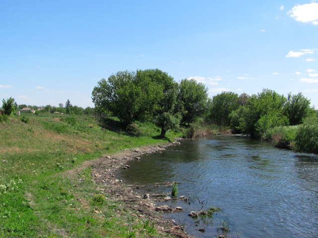
Kalmius district
Kalmius district is located in the south-eastern part of Donetsk region, in the historical and ethnographic territory of the Azov region. From the south it is washed by the waters of the Sea of Azov. The river Kalmius flows within the district. Here is the branch of the Ukrainian State Steppe Reserve of the National Academy of Sciences of Ukraine "Khomutovsky Steppe&quo... Read more
Kalmius district is located in the south-eastern part of Donetsk region, in the historical and ethnographic territory of the Azov region. From the south it is washed by the waters of the Sea of Azov. The river Kalmius flows within the district. Here is the branch of the Ukrainian State Steppe Reserve of the National Academy of Sciences of Ukraine "Khomutovsky Steppe", as well as part of the National Nature Park "Meotida". The area is located in the temporarily occupied territory of ORDLO.
The administrative center of Kalmiusky district is the city of Kalmiuske. The area of the district is more than 3132 square kilometers. The population of the district reaches 122 thousand people.
The Kalmiusky district includes 157 settlements, which are united into 5 territoria hromadas: Dokuchaevskaya, Kalmiuskaya, Novoazovskaya urban communities, Boykivskaya and Starobeshivskaya settlement amalgamated hromadas.
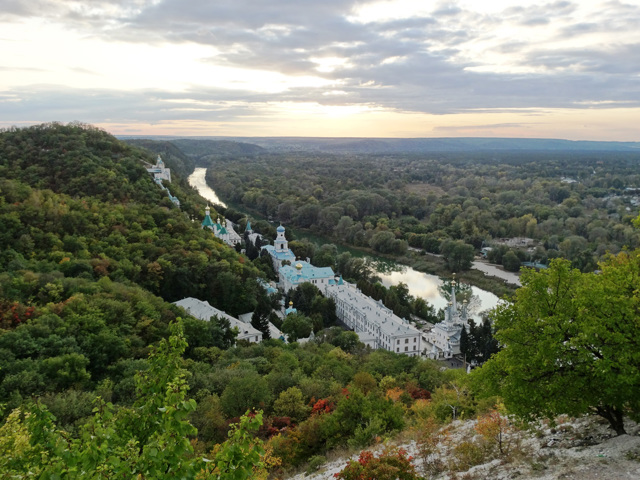
Kramatorsk district
Kramatorsk district is located in the northern part of Donetsk region, in the historical and ethnographic territory of Slobozhanshchina. The Seversky Donets River flows within the district. The nature reserve fund of the district includes the Holy Mountains National Nature Park, the Cretaceous Flora Nature Reserve, the Kleban-Byk Regional Landscape Park, the Kramatorsk Regio... Read more
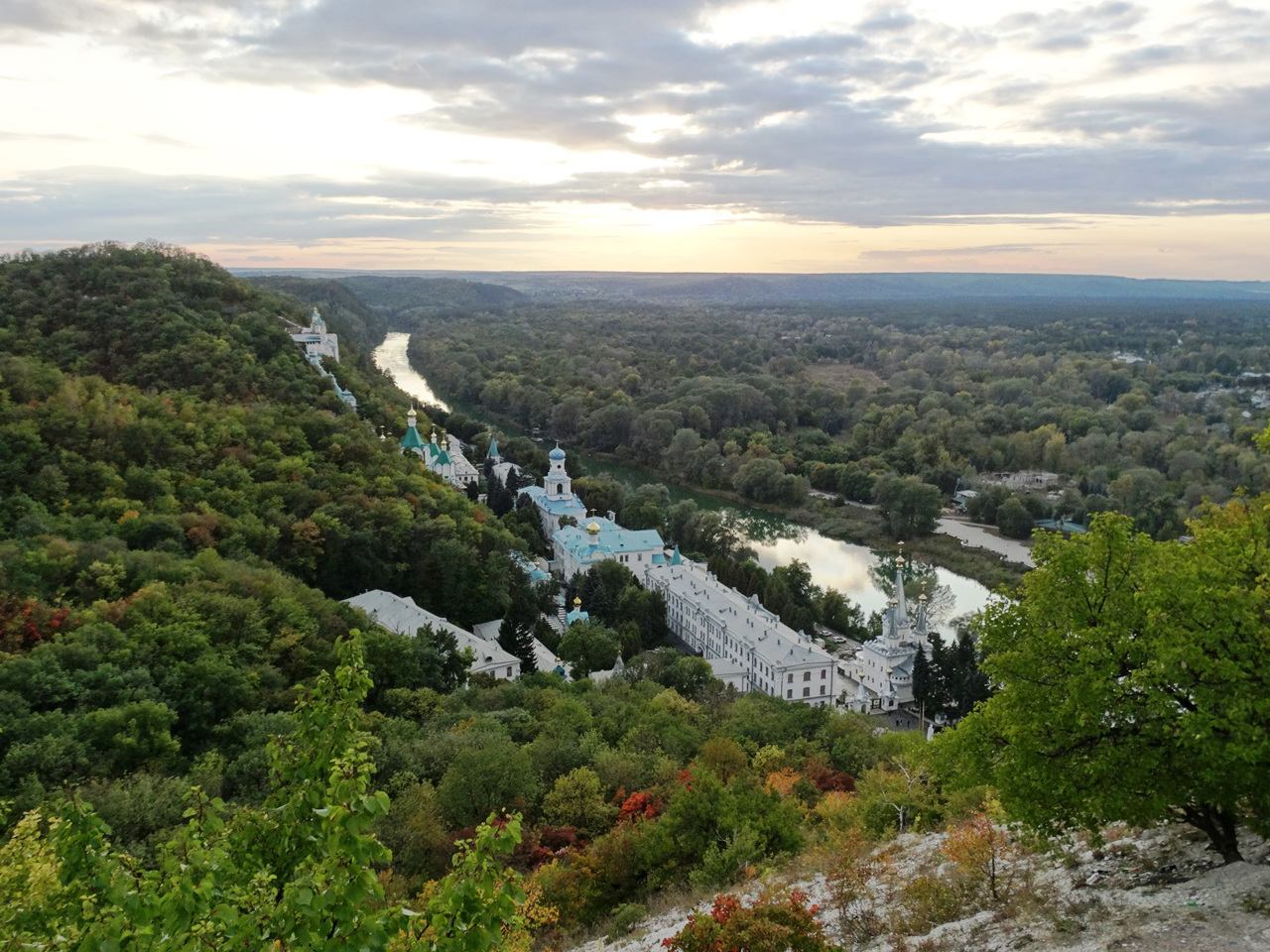
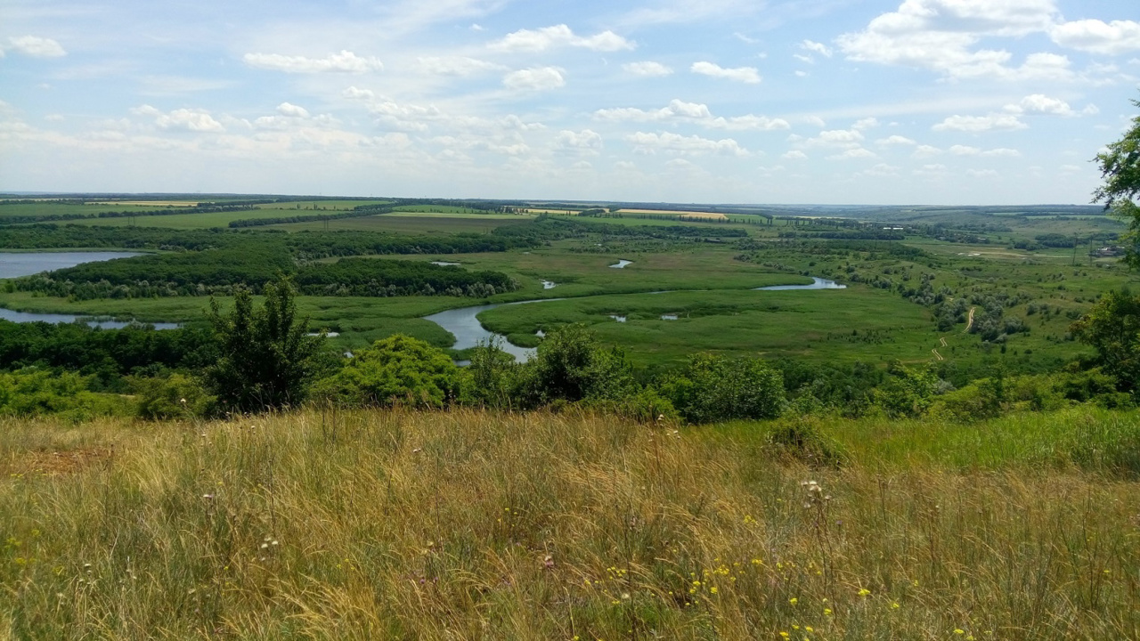
Kramatorsk district is located in the northern part of Donetsk region, in the historical and ethnographic territory of Slobozhanshchina. The Seversky Donets River flows within the district. The nature reserve fund of the district includes the Holy Mountains National Nature Park, the Cretaceous Flora Nature Reserve, the Kleban-Byk Regional Landscape Park, the Kramatorsk Regional Landscape Park with the Belokuzmin Cretaceous Rocks, and the Druzhlivsky Geological Monument. trees". There are such historical and cultural monuments as the Holy Dormition Svyatogorsk Lavra, the Holy Resurrection Church in Sloviansk, etc. Slavkurort sanatoriums operate on the basis of Slovyansk mineral waters.
The administrative center of Kramatorsk district is the city of Kramatorsk, which also temporarily serves as a regional center. The area of the district is more than 5186 square kilometers. The population of the district reaches 568 thousand people.
Kramatorsk district includes 235 settlements, which are united into 12 amalgamated hromadas: Druzhkivska, Kostiantynivska, Kramatorska, Lymanska, Mykolaivska, Sviatohirska, Slovyanska, Novodonetska, Oleksandrivska, Cherkaska settlements, Andriivska and Illinivska rural hromadas.

Mariupol district
Mariupol district is located in the southern part of Donetsk region, in the historical and ethnographic territory of the Azov region. From the south it is washed by the waters of the Sea of Azov. The rivers Kalmius and Kalchyk flow within the district. The branch of the Ukrainian State Steppe Reserve of the National Academy of Sciences of Ukraine "Stone Graves", th... Read more
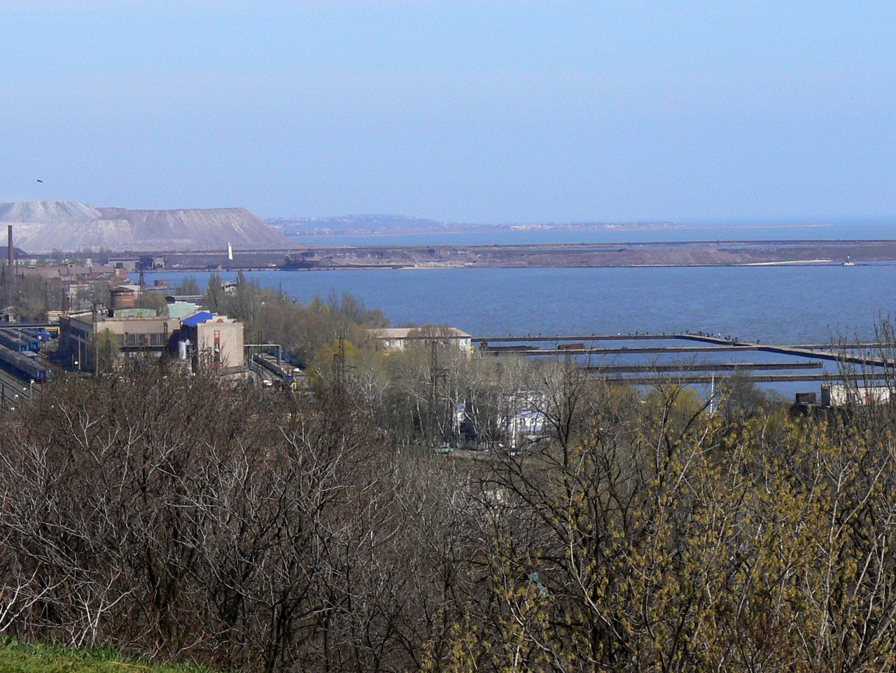
Mariupol district is located in the southern part of Donetsk region, in the historical and ethnographic territory of the Azov region. From the south it is washed by the waters of the Sea of Azov. The rivers Kalmius and Kalchyk flow within the district. The branch of the Ukrainian State Steppe Reserve of the National Academy of Sciences of Ukraine "Stone Graves", the Regional Landscape Park "Polovtsian Steppe", as well as part of the National Nature Park "Meotida" are located here. The resorts of Urzuf, Yalta, Melekine and Bilosarayskaya Kosa are popular summer resorts on the Sea of Azov.
The administrative center of the Mariupol district is the port city of Mariupol, which is actively developing as a regional tourist center. The area of the district is 2624 square kilometers. The population of the district exceeds 520 thousand people.
The Mariupol district consists of 89 settlements, which are united into 5 amalgamated hromadas: Mariupol city, Kalchytska, Mangush, Nikolska, Sartan settlements hromadas.
Pokrovsky district
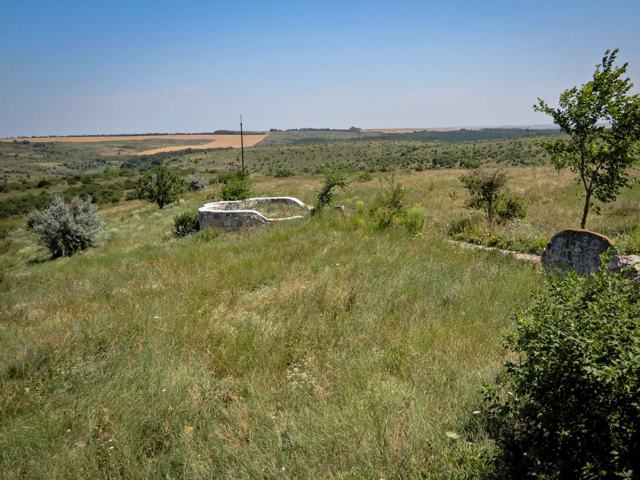
Pokrovsky district is located in the central part of Donetsk region, on the historical and ethnographic territory of Slobozhanshchina. The Vovcha River flows within the district. Here are the protected tracts "Nikanorivsky Forest" and "Hectal Beam".
The administrative center of Pokrovsky district is the city of Pokrovsk. The area of the district i... Read more
Pokrovsky district is located in the central part of Donetsk region, on the historical and ethnographic territory of Slobozhanshchina. The Vovcha River flows within the district. Here are the protected tracts "Nikanorivsky Forest" and "Hectal Beam".
The administrative center of Pokrovsky district is the city of Pokrovsk. The area of the district is 4020 square kilometers. The population of the district exceeds 400 thousand people.
The Pokrovsky district includes 263 settlements, which are united in 14 territorial communities: Pokrovskaya, Avdiyivska, Belozerskaya, Dobropilskaya, Kurakhovskaya, Maryinskaya, Myrnogradskaya, Novogrodovskaya, Selidovskaya urban, Grodovskaya, Ocheretinskaya, Udachnenskaya settlements, Krykhoviv territorial communities.
Volnovakha district
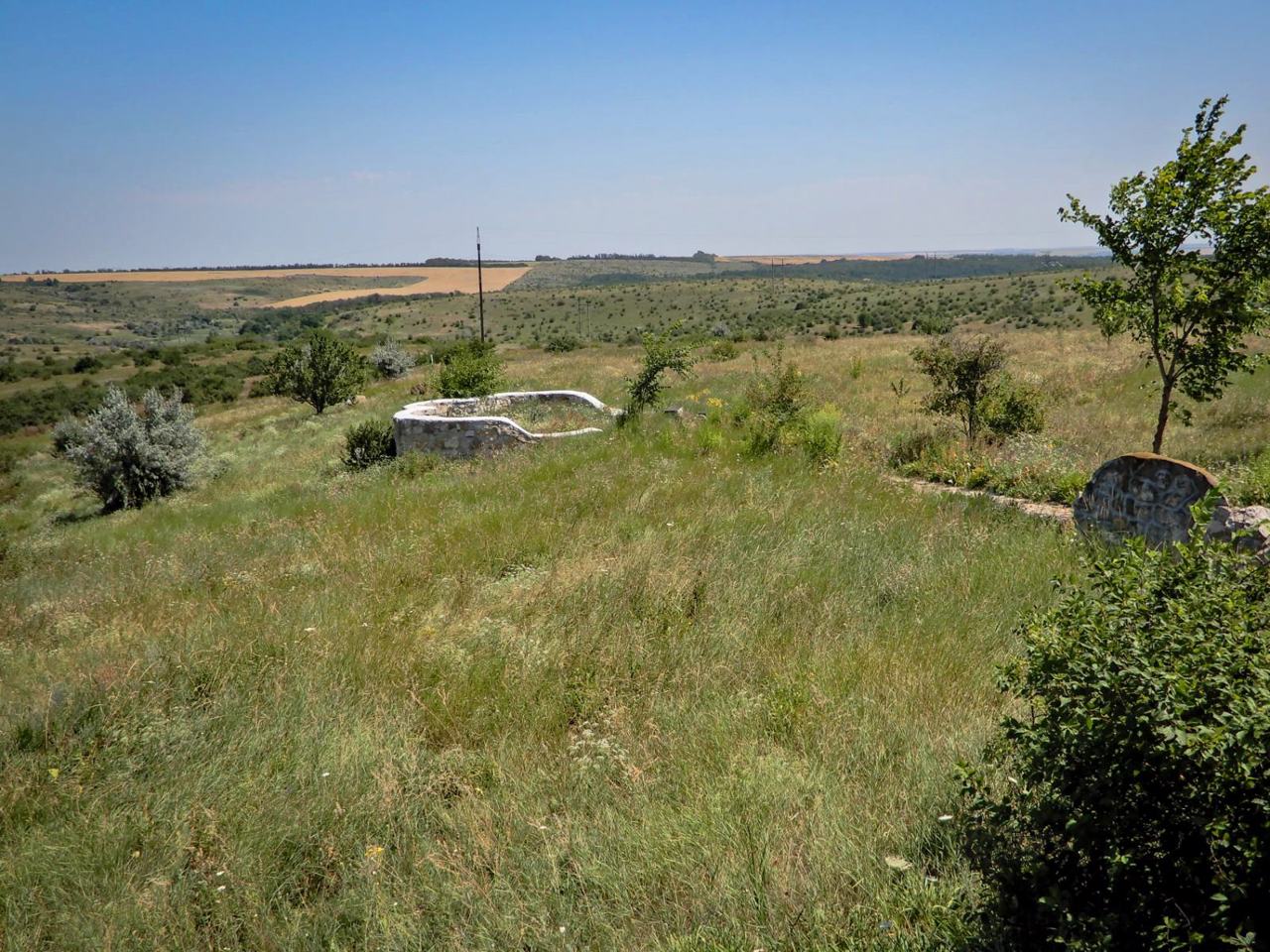
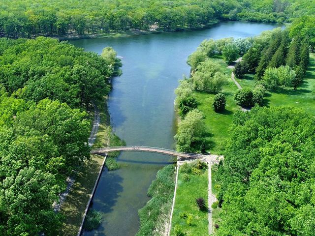
Volnovakha district is located in the south-western part of Donetsk region, on the historical and ethnographic territory of the Azov region. Within the district is the Greater Anatolian Forest - the first artificial forest, laid in the Ukrainian steppe in the middle of the XIX century. scientist-forester Victor Graff.
The administrative center of Volnovakha district is... Read more
Volnovakha district is located in the south-western part of Donetsk region, on the historical and ethnographic territory of the Azov region. Within the district is the Greater Anatolian Forest - the first artificial forest, laid in the Ukrainian steppe in the middle of the XIX century. scientist-forester Victor Graff.
The administrative center of Volnovakha district is the city of Volnovakha. The area of the district is almost 4440 square kilometers. The population of the district reaches 146 thousand people.
The Volnovakha district consists of 158 settlements, which are united into 8 territorial hromadas: Volnovakha, Vugledarska city, Velykonovosilkivska, Myrnenska, Olhynska settlements, Komarska, Staromlynivska and Khlibodarivska rural amalgamated hromadas.
