Functional temporarily unavailable
Cities and villages of Romny district
Online travel guide to the settlements of Romny district
General information about Romny district
Romny district is located in the central part of Sumy region, in the historical and ethnographic region of Slobozhanshchina. The Sula River flows within the district.
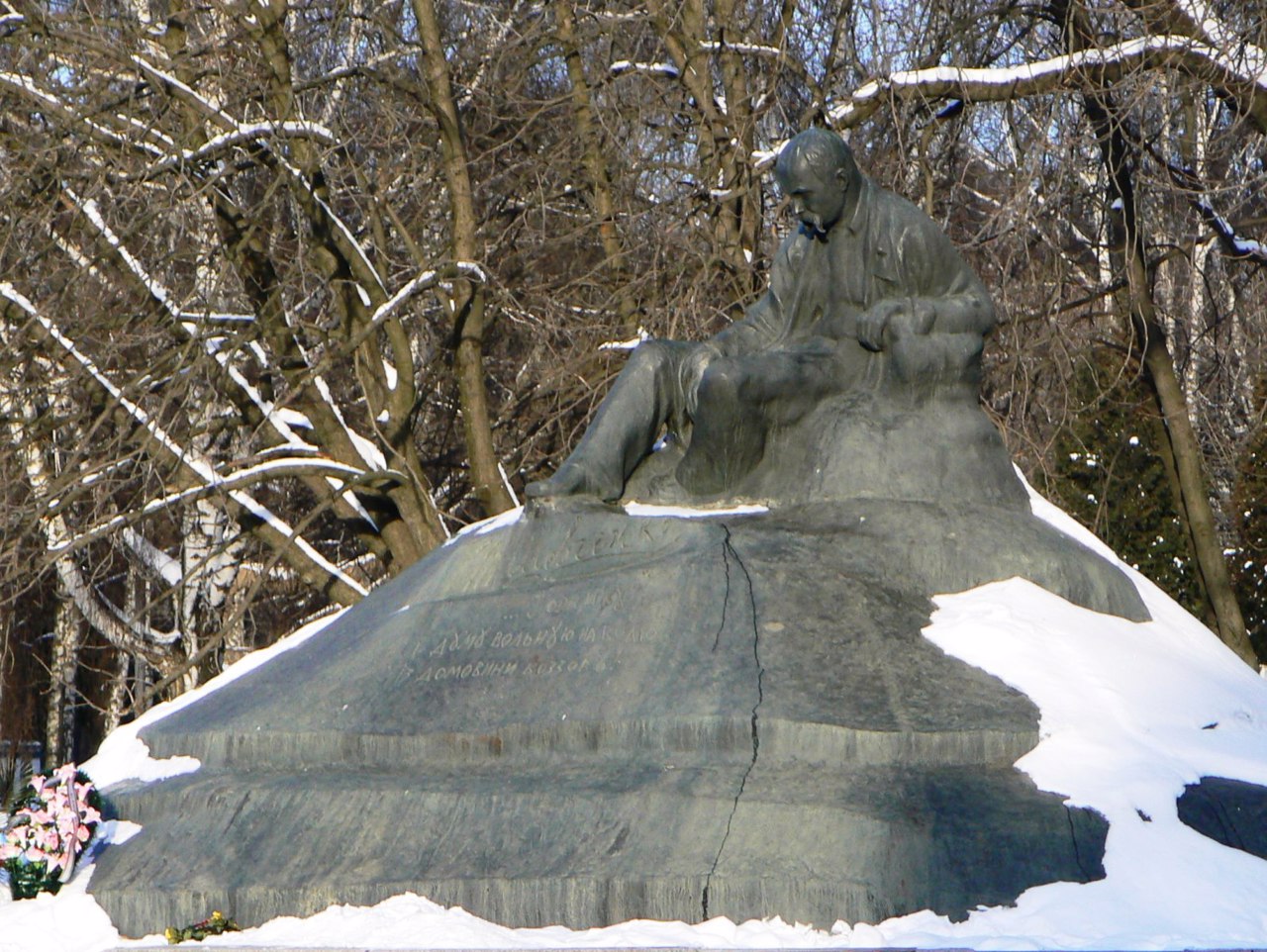
The administrative center of Romny district is the city of Romny. There are such historical and cultural monuments as the Holy Spirit Cathedral, the Church of the Ascension, the buildings of the former real, city and theological schools, women's gymnasium, other old administrative and residential buildings, as well as the first full-size monuments in Ukraine to Taras Shevchenko.
The area of the district is over 3880 square kilometers. The population of the district reaches 114 thousand people.
The Romny district consists of 297 settlements, which are united into 8 territorial hromadas: Romensky city, ...
Romny district is located in the central part of Sumy region, in the historical and ethnographic region of Slobozhanshchina. The Sula River flows within the district.
The administrative center of Romny district is the city of Romny. There are such historical and cultural monuments as the Holy Spirit Cathedral, the Church of the Ascension, the buildings of the former real, city and theological schools, women's gymnasium, other old administrative and residential buildings, as well as the first full-size monuments in Ukraine to Taras Shevchenko.
The area of the district is over 3880 square kilometers. The population of the district reaches 114 thousand people.
The Romny district consists of 297 settlements, which are united into 8 territorial hromadas: Romensky city, Lipovodolynska, Nedrigailivskaya settlements and Andriyashivska, Vilshanska, Korovynska, Synivska and Khmelivska rural amalgamated hromadas.
Роменський район розташований у центральній частині Сумській області, в історико-етнографічному регіоні Слобожанщини. В межах району протікає річка Сула.
Адміністративним центром Роменського району є місто Ромни. Тут збереглися такі історико-культурні пам'ятки, як Святодухівський собор, Вознесенська церква, будівлі колишніх реального, міського та духовного училищ, жіночої гімназії, інші старі адміністративні та житлові будівлі, а також перший в Україні повноразмірний пам'ятки Тарасу Шевченку.
Площа території району становить понад 3880 квадратних кілометрів. Чисельність населення району сягає 114 тисяч осіб.
До складу Роменського району входять 297 населених пунктів, які об'єднані у 8 територіальних громад: Роменська міська, Липоводолинська, Недригайлівська ...
Роменський район розташований у центральній частині Сумській області, в історико-етнографічному регіоні Слобожанщини. В межах району протікає річка Сула.
Адміністративним центром Роменського району є місто Ромни. Тут збереглися такі історико-культурні пам'ятки, як Святодухівський собор, Вознесенська церква, будівлі колишніх реального, міського та духовного училищ, жіночої гімназії, інші старі адміністративні та житлові будівлі, а також перший в Україні повноразмірний пам'ятки Тарасу Шевченку.
Площа території району становить понад 3880 квадратних кілометрів. Чисельність населення району сягає 114 тисяч осіб.
До складу Роменського району входять 297 населених пунктів, які об'єднані у 8 територіальних громад: Роменська міська, Липоводолинська, Недригайлівська селищні та Андріяшівська, Вільшанська, Коровинська, Синівська і Хмелівська сільські територіальні громади.


