Functional temporarily unavailable
Cities and villages of Novoukrainsky district
Online travel guide to the settlements of Novoukrainsky district
General information about Novoukrainsky district
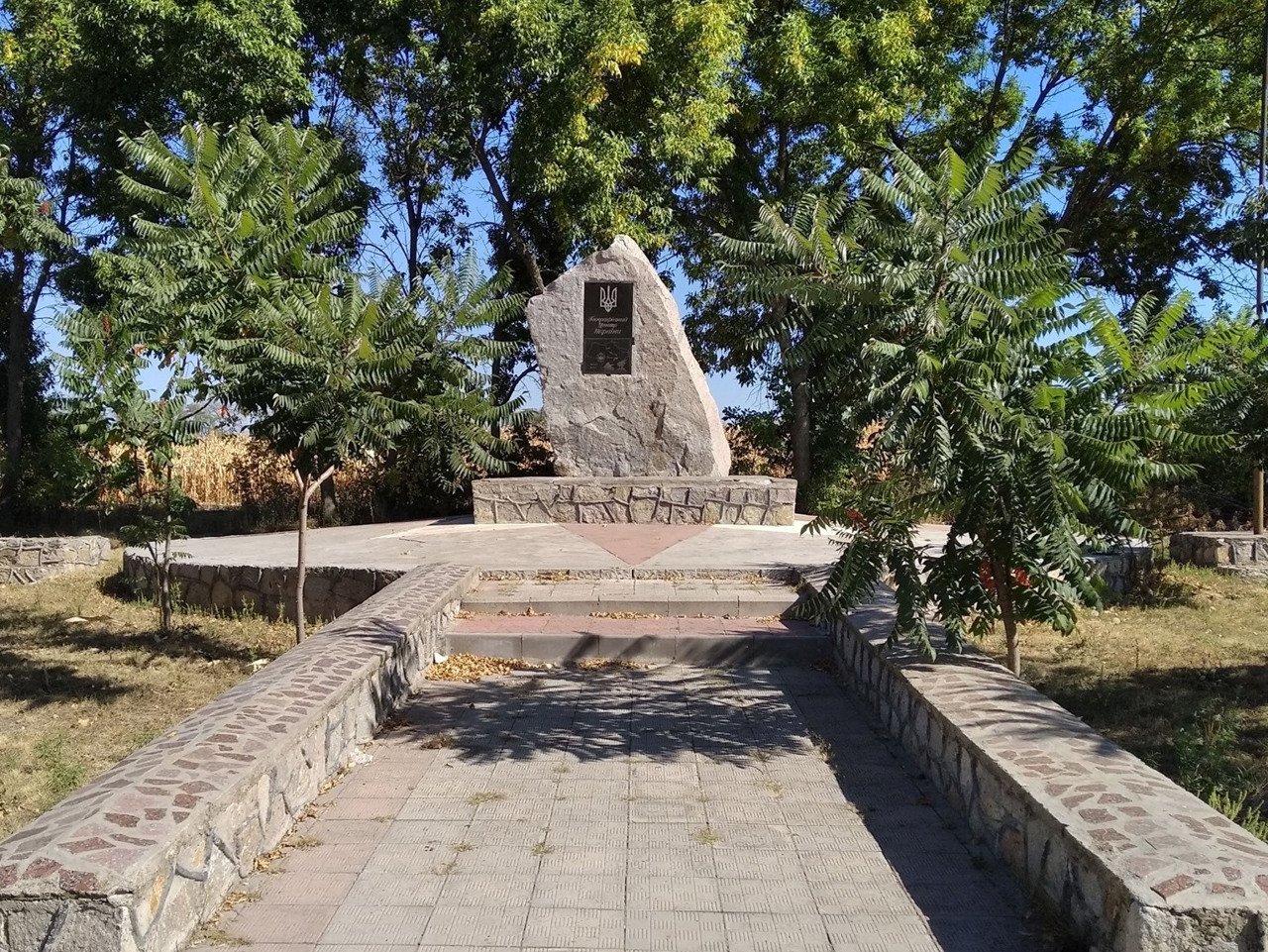
Novoukrainsky district is located in the central part of Kirovograd region, in the historical and ethnographic territory of the Middle Dnieper. The rivers Chorny Tashlyk and Velyka Vys flow within the district, part of the floodplain of which is protected by the hydrological reserve of the same name. According to one version, the geographical center of Ukraine was determined near the town of Dobrovelychkivka, and a memorial sign in the form of a granite stele was erected at this place.
The administrative center of the Novoukrainka district is the city of Novoukrainka. The area of the district reaches almost 5,200 square kilometers. The population of the district is 143 thousand people.
The Novoukrainsky district consists of 242 settlements, which are united in 13 territorial ...
Novoukrainsky district is located in the central part of Kirovograd region, in the historical and ethnographic territory of the Middle Dnieper. The rivers Chorny Tashlyk and Velyka Vys flow within the district, part of the floodplain of which is protected by the hydrological reserve of the same name. According to one version, the geographical center of Ukraine was determined near the town of Dobrovelychkivka, and a memorial sign in the form of a granite stele was erected at this place.
The administrative center of the Novoukrainka district is the city of Novoukrainka. The area of the district reaches almost 5,200 square kilometers. The population of the district is 143 thousand people.
The Novoukrainsky district consists of 242 settlements, which are united in 13 territorial hromadas: Pomichnyanska, Malovyskivska, Novomyrhorodska, Novoukrainska urban, Dobrovelychkivska, Smolinska settlements, Pishchanobridska, Tyshkivska, Zlynska, Maryanivska, Hannivska, Glodovska rural amalgamated hromadas.
Новоукраїнський район розташований у центральній частині Кіровоградської області, на історико-етнографічній території Середнього Подніпров'я. В межах району протікають річки Чорний Ташлик і Велика Вись, частину заплави якої охороняє однойменний гідрологічний заказник. Поблизу смт Добровеличківка, за однією з версій, визначено географічний центр України, на цьому місці встановлено пам'ятний знак у вигляді гранітної стели.
Адміністративним центром Новоукраїнського району є місто Новоукраїнка. Площа території району сягає майже 5200 квадратних кілометрів. Чисельність населення району становить 143 тисячі осіб.
До складу Новоукраїнського району входять 242 населені пункти, які об'єднані у 13 територіальних громад: Помічнянська, Маловисківська, Новомиргородська, Новоу ...
Новоукраїнський район розташований у центральній частині Кіровоградської області, на історико-етнографічній території Середнього Подніпров'я. В межах району протікають річки Чорний Ташлик і Велика Вись, частину заплави якої охороняє однойменний гідрологічний заказник. Поблизу смт Добровеличківка, за однією з версій, визначено географічний центр України, на цьому місці встановлено пам'ятний знак у вигляді гранітної стели.
Адміністративним центром Новоукраїнського району є місто Новоукраїнка. Площа території району сягає майже 5200 квадратних кілометрів. Чисельність населення району становить 143 тисячі осіб.
До складу Новоукраїнського району входять 242 населені пункти, які об'єднані у 13 територіальних громад: Помічнянська, Маловисківська, Новомиргородська, Новоукраїнська міські, Добровеличківська, Смолінська селищні, Піщанобрідська, Тишківська, Злинська, Мар'янівська, Ганнівська, Глодоська, Рівнянська сільські територіальні громади.


