Functional temporarily unavailable
Settlements
Rivne region
Cities and villages of
Rivne region
Online travel guide to the settlements of
Rivne region

Districts of Rivne region
Dubno district
Dubno district is located in the southwestern part of Rivne region, in the historical and ethnographic region of Volyn. The rivers Styr and Ikva flow within the district. The source of St. Anne is a hydrological natural monument of local significance and the center of Orthodox pilgrimage. Also here is the highest point of the Mizotsky ridge (over 300 m above sea level).
<... Read moreDubno district is located in the southwestern part of Rivne region, in the historical and ethnographic region of Volyn. The rivers Styr and Ikva flow within the district. The source of St. Anne is a hydrological natural monument of local significance and the center of Orthodox pilgrimage. Also here is the highest point of the Mizotsky ridge (over 300 m above sea level).
The administrative center of the Dubno district is the city of Dubno, known for the Dubna castle of the Ostroh-Lubomirskis, monasteries of Bernardines and Carmelites, the remains of city fortifications. Nearby is the Tarakan Fort during the First World War. Important historical and cultural monuments are the National Historical and Memorial Reserve "Battlefield of Brest", Peresopnytsia Cultural and Archaeological Center, Khodkevych Palace in Mlyniv.
The area of the district is almost 3295 square kilometers. The population of the district exceeds 170 thousand people.
The Dubno district includes 418 settlements, which are united in 19 territorial hromadas: Dubno and Radyvyliv city, Demydivska, Smyzka, Mlynivska settlements, Boremelska, Varkovytska, Verbska, Myrogoshchanska, Povchanska, Privilnenska, Semidubska, Bozhakiv, Tarakiv Pidloztsivska, Yaroslavytska, Kozynska, Krupetska rural amalgamated hromadas.

Rivne district
Rivne district is located in the central part of Rivne region, in the historical and ethnographic region of Volyn. The Goryn and Sluch rivers flow within the district. The main objects of the nature reserve fund are the Dermansko-Ostroh National Nature Park and the Nadsluchansky Regional Landscape Park with the Sokolini Hory Landscape Reserve, where the ruins of the Gubkiv C... Read more
Rivne district is located in the central part of Rivne region, in the historical and ethnographic region of Volyn. The Goryn and Sluch rivers flow within the district. The main objects of the nature reserve fund are the Dermansko-Ostroh National Nature Park and the Nadsluchansky Regional Landscape Park with the Sokolini Hory Landscape Reserve, where the ruins of the Gubkiv Castle are also located. Industrial tourism and recreation are developing around the geological monument of nature "Basalt Pillars" on the site of existing and flooded basalt quarries.
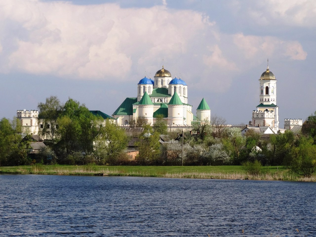
There are such historical and cultural monuments as the State Historical and Cultural Reserve of Ostroh with a castle and city fortifications, Holy Trinity Monastery-fortress in Mezhyrich, Holy Intercession Goschansky Monastery and Valevsky estate in Gosha, St. Anthony's Church and Palace Stetsky in Velykyi Mezhyrich, Koretsky Holy Trinity Monastery and the ruins of Koretsky Castle. Tourism is actively developing in Klevan, where the popular "Tunnel of Love" is located, as well as Klevan Castle and the Church of the Annunciation.
The administrative center of Rivne district is the regional center, the city of Rivne, known as the center of amber mining and processing, as well as the leading center of craft brewing in Ukraine. The area of the district is 7218 square kilometers. The population of the district reaches 635 thousand people.
The Rivne district includes 242 settlements, which are united in 26 territorial hromadas: Rivne, Ostroh, Bereznivska, Zdolbunivska, Koretska, Kostopilska, Sosnivska, Hoschanska, Mizotska, Klevanska settlements, Malynska, Babynska, Bugrytska, Z Golovynska, Derazhnenska, Malolyubashanska, Bilokrynytska, Velykoomelyanska, Horodotska, Dyadkovytska, Zoryanska, Kornynska, Oleksandriyska, Shpanivska rural amalgamated hromadas.
Sarny district
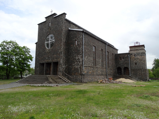
Sarny district is located in the northeastern part of Rivne region, in the historical and ethnographic region of Rivne Polissya. The Goryn and Sluch rivers flow within the district. Large areas are occupied by forests and swamps, protected by the Rivne Nature Reserve. Natural monuments of national importance are the tracts "Netreba", "Yuzefinska dacha", &... Read more
Sarny district is located in the northeastern part of Rivne region, in the historical and ethnographic region of Rivne Polissya. The Goryn and Sluch rivers flow within the district. Large areas are occupied by forests and swamps, protected by the Rivne Nature Reserve. Natural monuments of national importance are the tracts "Netreba", "Yuzefinska dacha", "Velyke Pochaivske ozero", "Ozero Strilske", Klesivsky arboretum.
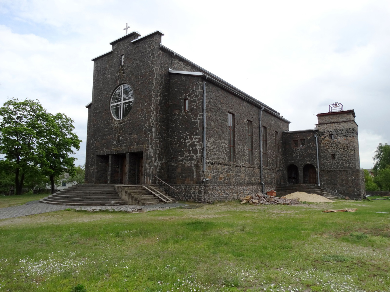
There are such historical and cultural monuments as the Church of John the Baptist in Dubrovytsia and the Church of the Transfiguration in Sarny.
The administrative center of Sarny district is the city of Sarny. The area of the district is almost 6220 square kilometers. Population district reaches 213 thousand people.
The Sarny district consists of 188 settlements, which are united in 11 territorial hromadas: Dubrovytsia and Sarny city, Rokytnivska, Klesivska, Stepanska settlements, Vysotska, Mylyatska, Berezivska, Starosilska, Vyrivska, Nemovytska rural amalgamated hromadas.
Varash district
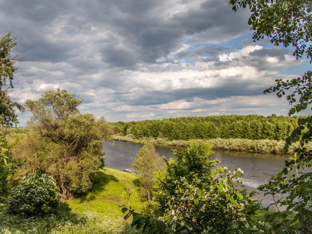
Varash district is located in the north-western part of Rivne region, in the historical and ethnographic region of Rivne Polissya. The rivers Styr and Pripyat flow within the district, the western border partly runs along the river Stokhid. A part of the Pripyat-Stokhid National Nature Park with water labyrinths and sand islands is located on the territory of the district. T... Read more
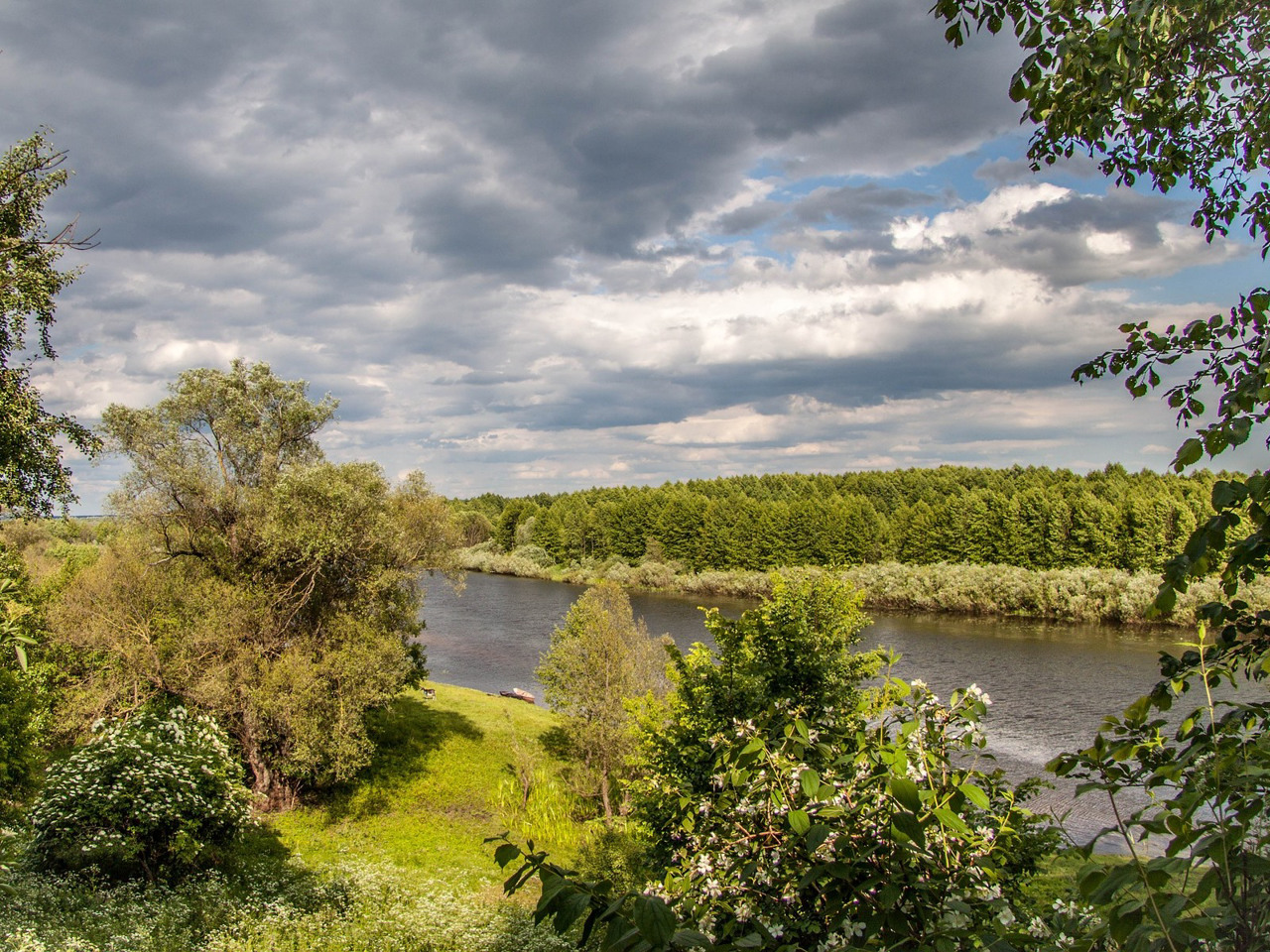
Varash district is located in the north-western part of Rivne region, in the historical and ethnographic region of Rivne Polissya. The rivers Styr and Pripyat flow within the district, the western border partly runs along the river Stokhid. A part of the Pripyat-Stokhid National Nature Park with water labyrinths and sand islands is located on the territory of the district. The largest lakes in the Rivne region, Bile and Nobel, are popular objects of recreational tourism. There is a narrow-gauge railway Antonivka - Zarichne, which is called "Polissya tram" or "Cuckoo".
The administrative center of Varash district is the city of power engineers Varash, which serves Rivne NPP. The area of the district is 3327 square kilometers. The population of the district reaches 140 thousand people.
Varash district consists of 183 settlements, which are united into 8 territorial hromadas: Varaska city, Volodymyretska, Zarichnenska and Rafalivska settlements, Antonivska, Kanonytska, Loknytska and Polytska rural amalgamated hromadas.

