Functional temporarily unavailable
Settlements
Dnipropetrovsk region
Cities and villages of
Dnipropetrovsk region
Online travel guide to the settlements of
Dnipropetrovsk region

Districts of Dnipropetrovsk region
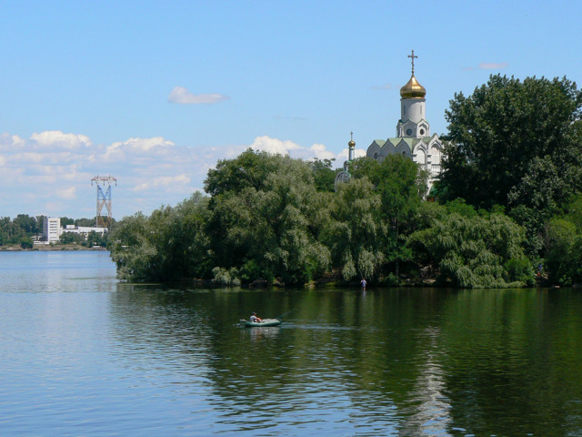
Dniprovskyi district
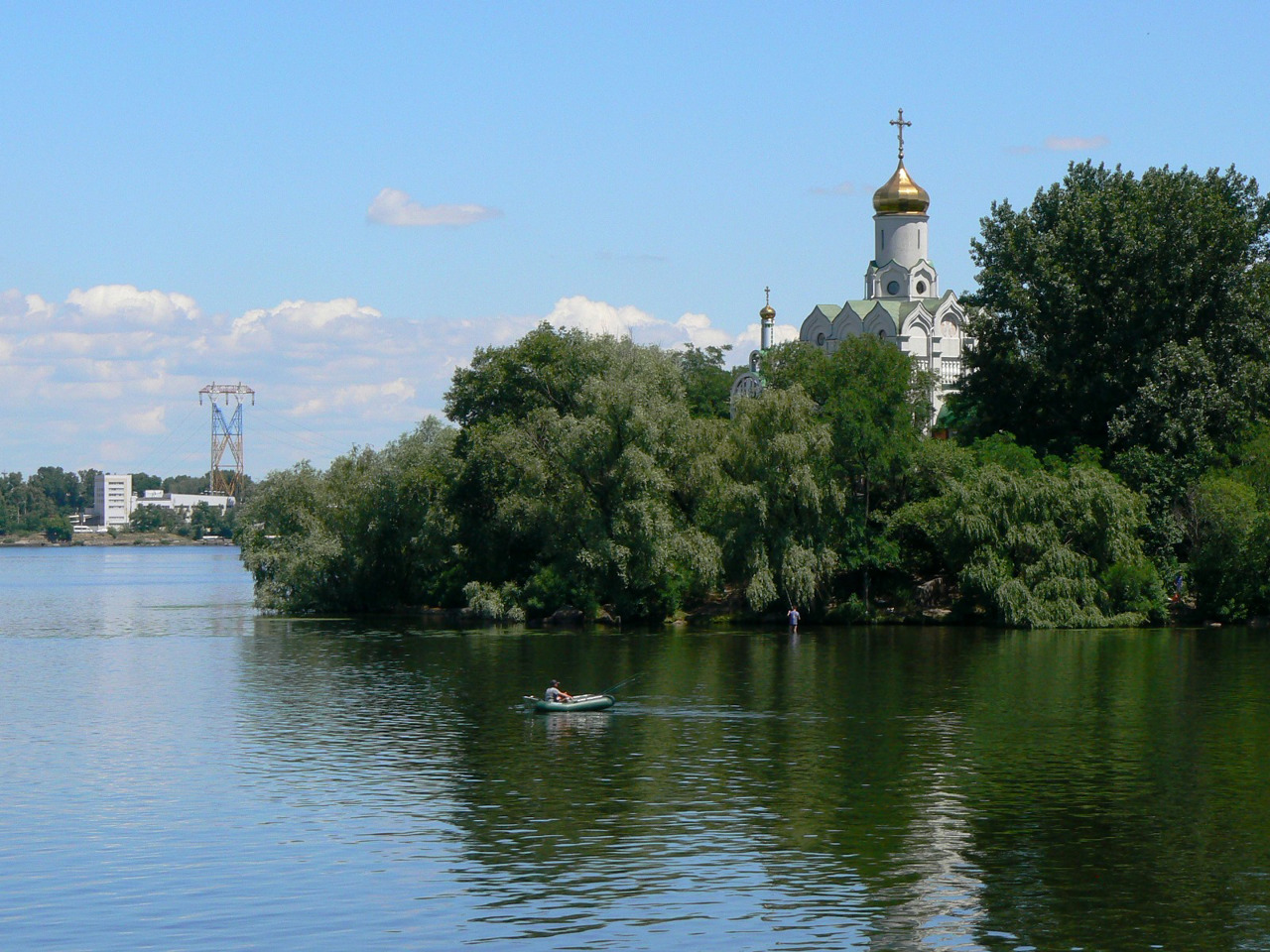
Dniprovskyi district is located in the central part of Dnipropetrovsk region, in the historical and ethnographic region of the Middle Dnipro. The territory of the district is crossed by the Dnipro River at the confluence of the Samara River. The Dnipro-Oryol Nature Reserve is located in the valley of the Dnipro and the Protovcha floodplains.
In Cossack times it was the... Read more
Dniprovskyi district is located in the central part of Dnipropetrovsk region, in the historical and ethnographic region of the Middle Dnipro. The territory of the district is crossed by the Dnipro River at the confluence of the Samara River. The Dnipro-Oryol Nature Reserve is located in the valley of the Dnipro and the Protovcha floodplains.
In Cossack times it was the territory of Kodak and Samara palanquins of the Zaporozhian Army. There are such historical and cultural monuments as the Dnipropetrovsk National Historical Museum named after Dmytro Yavornytsky, the Center of Folk Art "Petrykivka", the museum "Memory of the Jewish People and the Holocaust in Ukraine".
The administrative center of the Dnipro district is the regional center, the city of Dnipro. The area of the district is more than 5605 square kilometers. The population of the district reaches 1 million 180 thousand people.
The Dniprovsky district includes 234 settlements, which are united in 17 amalgamated hromadas: Dniprovska, Pidhorodnenska city, Kitaygorodska, Lyubimivska, Lyashkivska, Mykolaivska, Mohylivska, Novooleksandrivska, Sviatovasylivska, Sursko-Litovska, Chumakivska rural, Okivkhiv Novoporov Slobozhanska, Solonyanska, Tsarychanska settlement amalgamated hromadas.
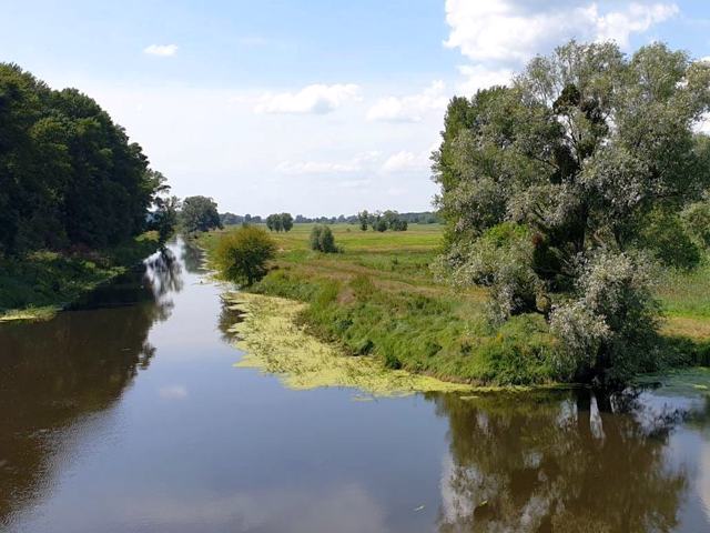
Kamyansky district
Kamyansky district is located in the north-western part of Dnipropetrovsk region, on the historical and ethnographic territory of the Middle Dnipro, on the banks of the Kamyansky reservoir, formed by the dam of the Middle Dnipro HPP. The Zhovta River flows within the district, on the banks of which the Battle of Zhovti Vody took place in 1648, which ended with the first sign... Read more
Kamyansky district is located in the north-western part of Dnipropetrovsk region, on the historical and ethnographic territory of the Middle Dnipro, on the banks of the Kamyansky reservoir, formed by the dam of the Middle Dnipro HPP. The Zhovta River flows within the district, on the banks of which the Battle of Zhovti Vody took place in 1648, which ended with the first significant victory of the Ukrainian Cossack army of Bohdan Khmelnytsky in the national liberation war against the Commonwealth.
The administrative center of Kamyansky district is the city of Kamyanske. The area of the district is more than 4820 square kilometers. The population of the district reaches 439 thousand people.
The Kamyansky district includes 274 settlements, which are united into 12 amalgamated hromadas: Verkhivtsivska, Vilnohirska, Verkhnodniprovska, Zhovtovodska, Kamyanska, Pyatihatska, Bozhedarivska, Vyshnivska, Krynychanska, Lykhivska settlements and Zatyshnyanska and amalgamated hromadas.
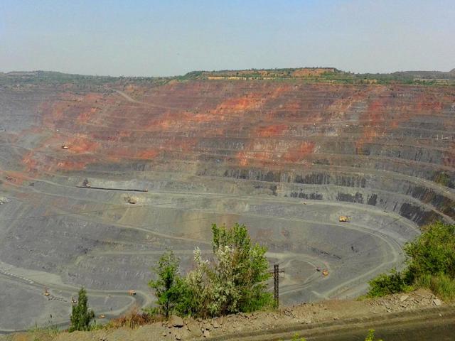
Kryvyi Rih district
Kryvyi Rih district is located in the western part of Dnipropetrovsk region, in the historical and ethnographic territory of the Middle Dniprо. The Ingulets River flows within the district and has picturesque rocky shores. The industrial district has a significant potential for industrial tourism, the objects of which are quarries and dumps of mining and processing plants, a... Read more
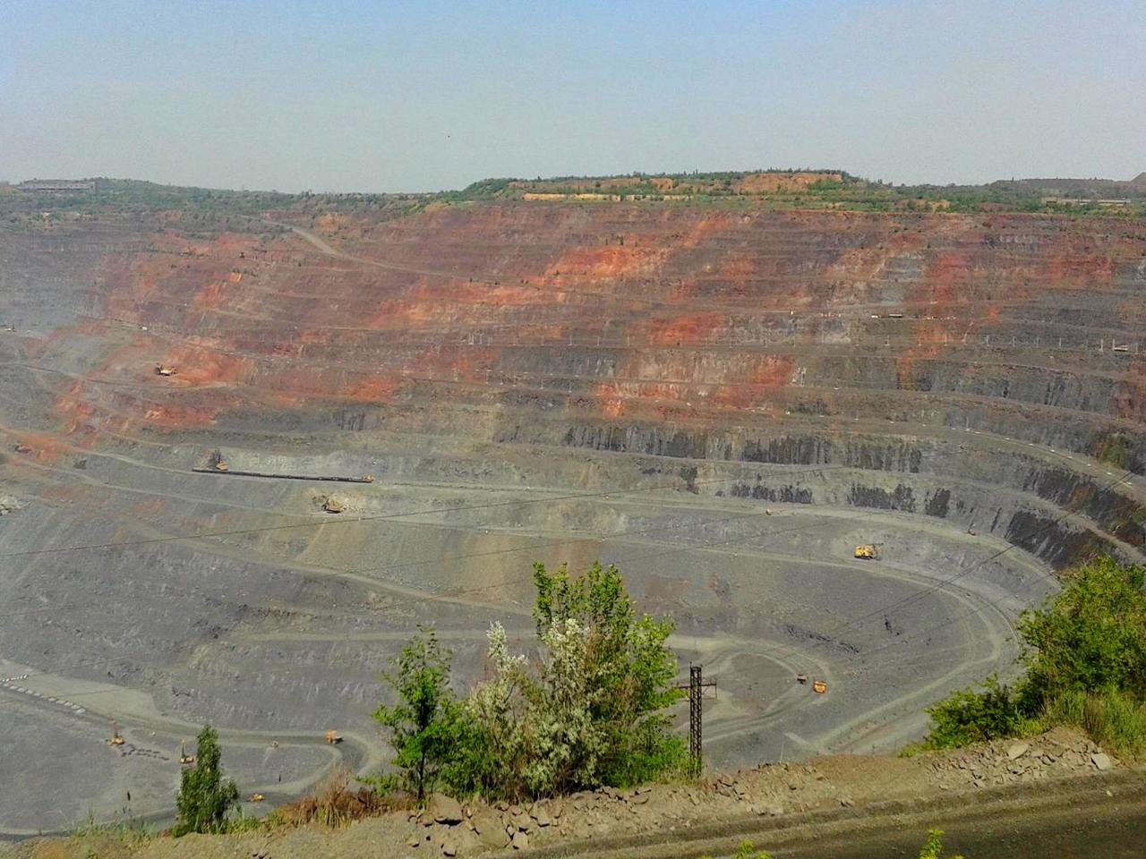
Kryvyi Rih district is located in the western part of Dnipropetrovsk region, in the historical and ethnographic territory of the Middle Dniprо. The Ingulets River flows within the district and has picturesque rocky shores. The industrial district has a significant potential for industrial tourism, the objects of which are quarries and dumps of mining and processing plants, as well as the open-air museum of mining equipment of PJSC "ArcelorMittal Kryvyi Rih".
The administrative center of Kryvyi Rih district is the city of Kryvyi Rih. The area of the district is more than 5717 square kilometers. The population of the district reaches 770 thousand people.
The Kryvyi Rih district includes 283 settlements, which are united in 15 amalgamated hromadas: Apostolovskaya, Kryvyi Rih, Zelenodolskaya urban, Sofiyivska, Shirokovskaya settlement, Vakulovskaya, Gleyuvatskaya, Grechanopodivskaya, Hrushivskaya, Devladovskaya, Karpivskaya, Silutovskaya, Lozutovskaya amalgamated hromadas.
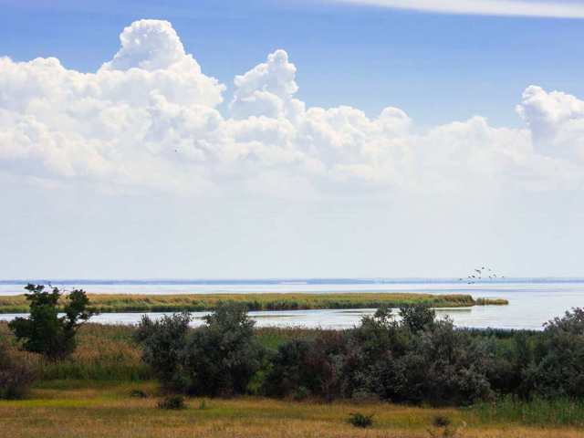
Nikopol district
Nikopol district is located in the southern part of Dnipropetrovsk region, in the historical and ethnographic territory of the Middle Dnipro. From the south, the district is washed by the waters of the Kakhovka Reservoir on the Dnipro River. During the Cossack times, 5 out of 7 Zaporozhian Sichs were located on these lands in different periods: Tomakivska, Bazavlutska, Mykyt... Read more
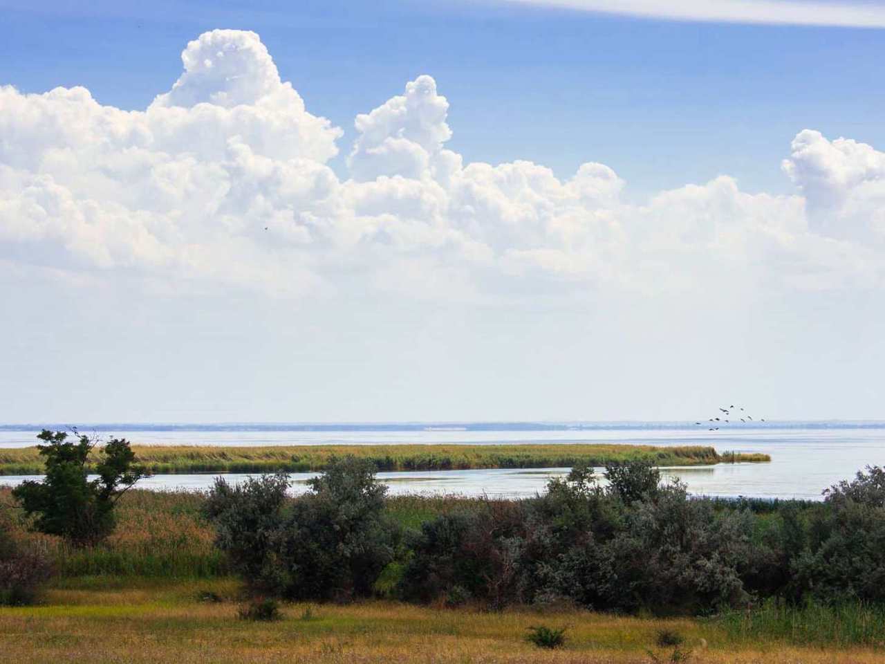
Nikopol district is located in the southern part of Dnipropetrovsk region, in the historical and ethnographic territory of the Middle Dnipro. From the south, the district is washed by the waters of the Kakhovka Reservoir on the Dnipro River. During the Cossack times, 5 out of 7 Zaporozhian Sichs were located on these lands in different periods: Tomakivska, Bazavlutska, Mykytynska, Chortomlytska and Nova Sich. Tourist routes are laid out by memorable Cossack places.
The administrative center of Nikopol district is the city of Nikopol. The area of the district is over 3240 square kilometers. The population of the district reaches 262 thousand people.
The Nikopol district consists of 130 settlements, which are united into 8 amalgamated hromadas: Marhanets, Nikopol, Pokrovsk urban, Myrivska, Pershotravnevska, Pokrovska rural, Tomakivska, Chervonohryhorivska settlement amalgamated hromadas.
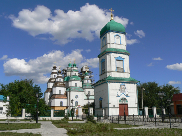
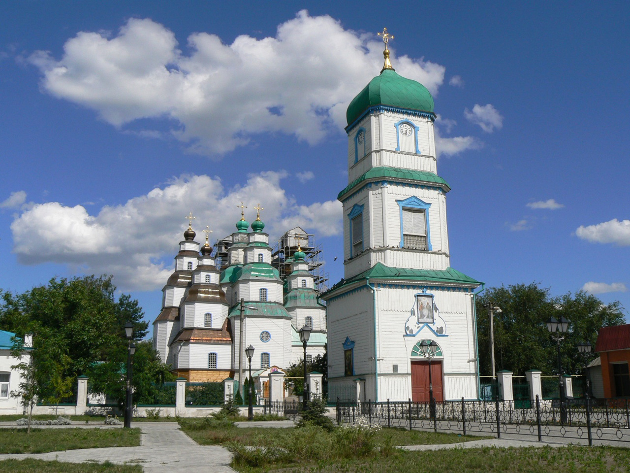
Novomoskovsk district
Novomoskovsk district is located in the northern part of Dnipropetrovsk region, in the historical and ethnographic territory of the Middle Dnipro. The Samara River flows within the district. In Cossack times, the Samara palanquin of the Zaporozhian Army was located here. Historical and cultural monuments such as the wooden Holy Trinity Cathedral in Novomoskovsk and the Samar... Read more
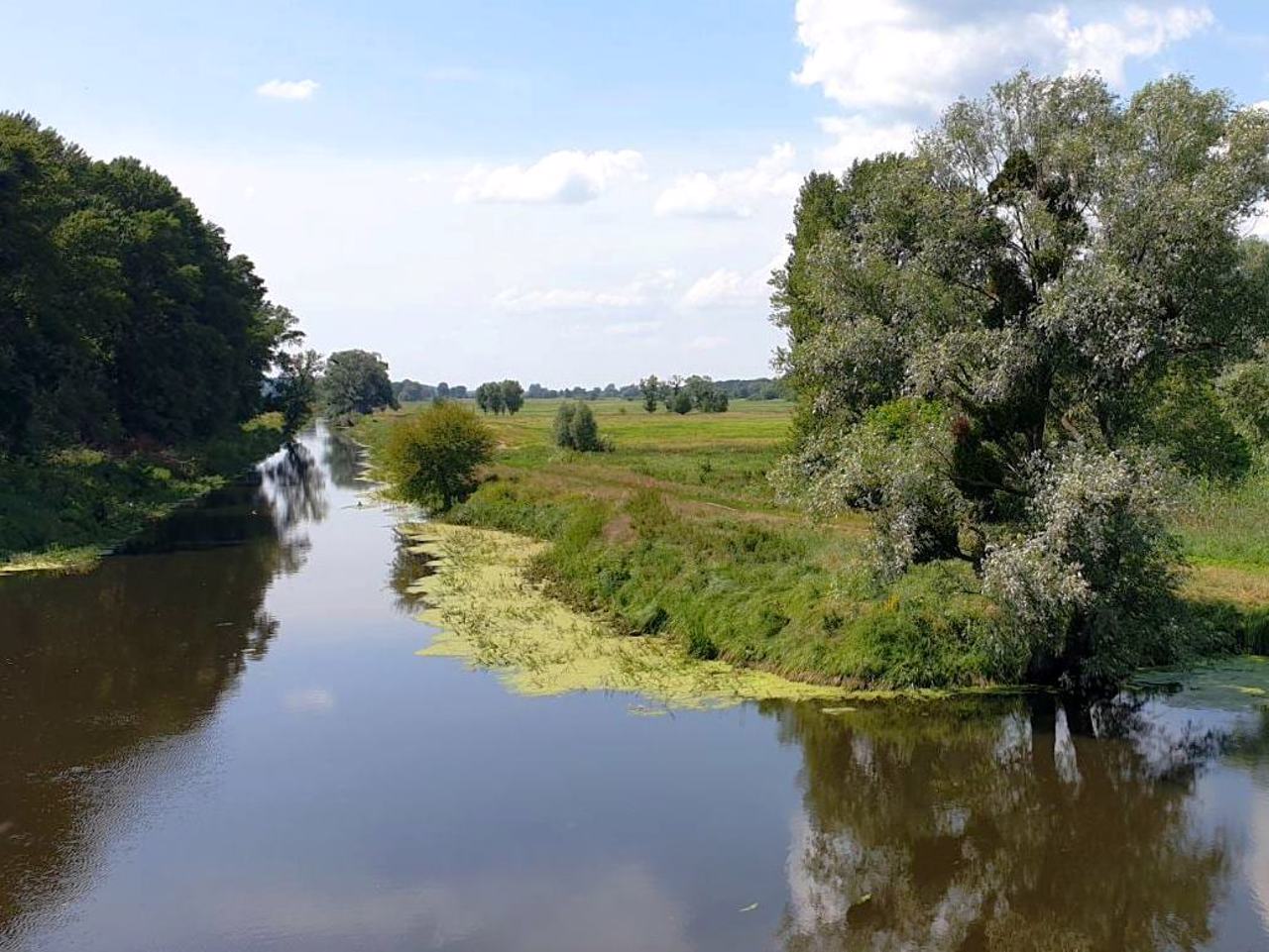
Novomoskovsk district is located in the northern part of Dnipropetrovsk region, in the historical and ethnographic territory of the Middle Dnipro. The Samara River flows within the district. In Cossack times, the Samara palanquin of the Zaporozhian Army was located here. Historical and cultural monuments such as the wooden Holy Trinity Cathedral in Novomoskovsk and the Samara Desert-Nikolaev Monastery have been preserved.
The administrative center of the Novomoskovsk district is the city of Novomoskovsk. The area of the district is 3483 square kilometers. The population of the district reaches 262 thousand people.
The Novomoskovsk district consists of 130 settlements, which are united into 8 amalgamated hromadas: Novomoskovsk and Pereshchepyn urban, Lychkiv, Pishchansk, Chernechchyna rural, Cherkasy, Gubyn, Magdalinivka settlement amalgamated hromadas.

Pavlohrad district
Pavlograd district is located in the eastern part of Dnipropetrovsk region, in the historical and ethnographic territory of the Middle Dnipro. The Samara River flows within the district. There are few historical and cultural monuments in the area, but in Pavlograd fragments of historical buildings have been preserved.
The administrative center of Pavlograd district is ... Read more
Pavlograd district is located in the eastern part of Dnipropetrovsk region, in the historical and ethnographic territory of the Middle Dnipro. The Samara River flows within the district. There are few historical and cultural monuments in the area, but in Pavlograd fragments of historical buildings have been preserved.
The administrative center of Pavlograd district is the city of Pavlograd. The area of the district is more than 2420 square kilometers. The population of the district reaches 173 thousand people.
The Pavlograd district consists of 98 settlements, which are united into 7 amalgamated hromadas: Pavlograd, Terniv city, Bohdanivska, Verbkivska, Mezhyritska, Troitska rural, Yurivska settlement amalgamated hromadas.
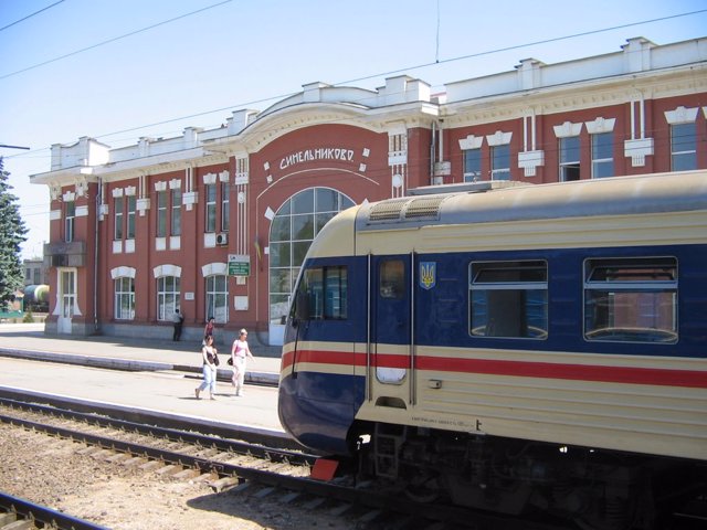
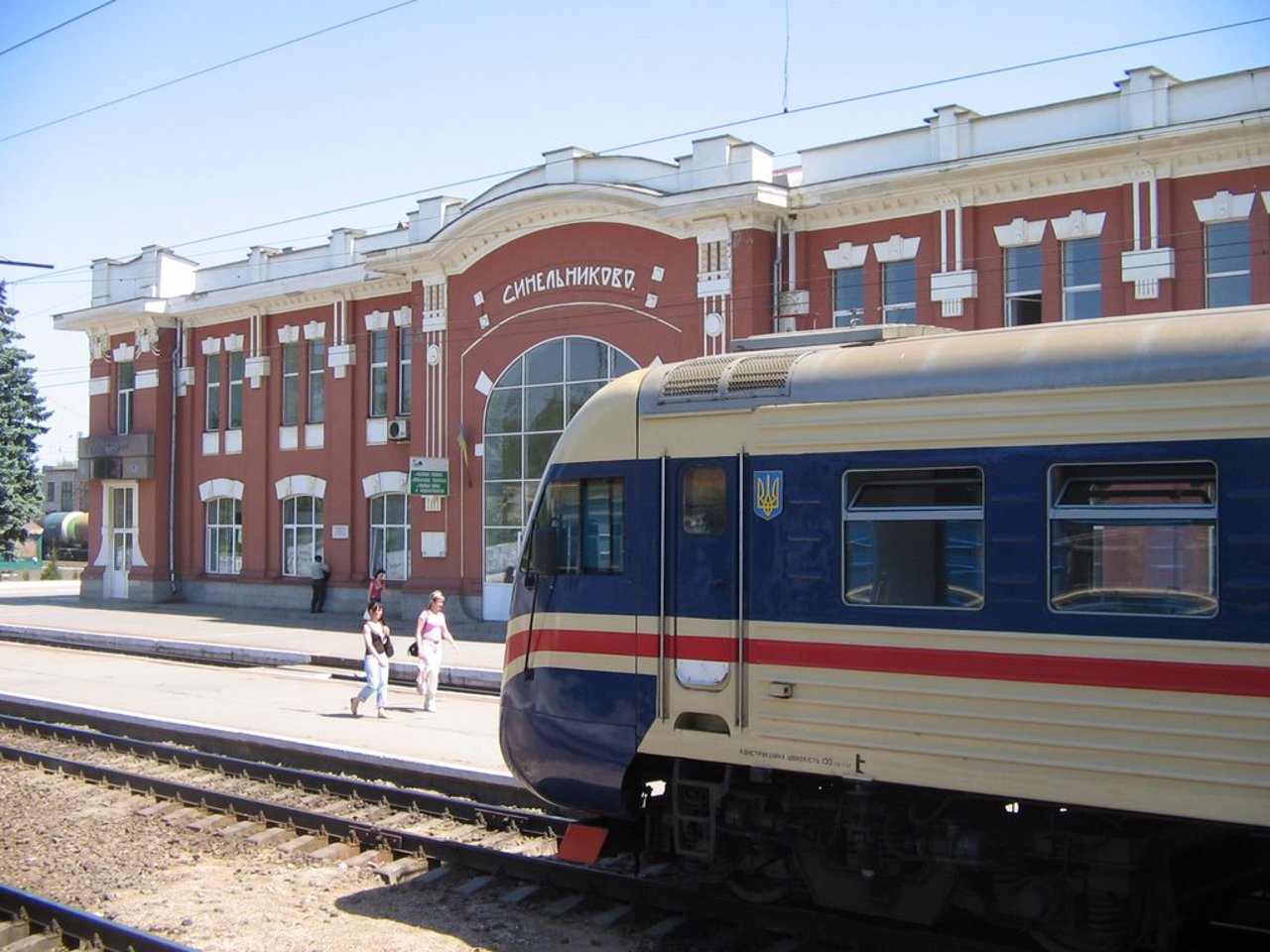
Synelnykivskyi district
Synelnykivskyi district is located in the eastern part of Dnipropetrovsk region, in the historical and ethnographic territory of the Middle Dnipro. The Samara River flows within the district, the western region is washed by the waters of the Kakhovka Reservoir on the Dnipro River. There are few historical and cultural monuments in the area, but several ancient temples have b... Read more
Synelnykivskyi district is located in the eastern part of Dnipropetrovsk region, in the historical and ethnographic territory of the Middle Dnipro. The Samara River flows within the district, the western region is washed by the waters of the Kakhovka Reservoir on the Dnipro River. There are few historical and cultural monuments in the area, but several ancient temples have been preserved.
The administrative center of Synelnykiv district is the city of Synelnykove. The area of the district is 6616 square kilometers. The population of the district reaches 208 thousand people.
Synelnykivskyi district includes 373 settlements, which are united in 19 amalgamated hromadas: Pershotravenska, Synelnykivska city, Brahynivska, Velykomykhailivska, Dubovykivska, Zaitsivska, Malomykhailivska, Mykolaivska, Novopavlivska, Raivska, Slovyanska, Ukrainska rural, Vasyl Mezhivska, Petropavlivska, Pokrovska, Rozdorska, Slavgorodska settlement amalgamated hromadas.
