Functional temporarily unavailable
Settlements
Zaporizhia region
Cities and villages of
Zaporizhia region
Online travel guide to the settlements of
Zaporizhia region

Districts of Zaporizhia region
Berdiansk district
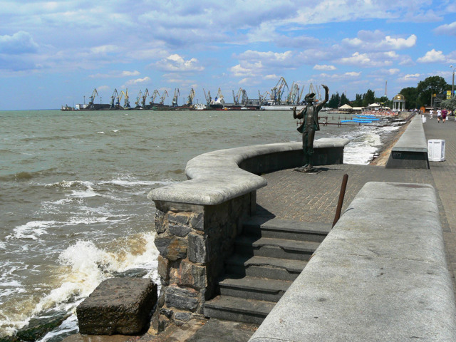
Berdyansk district is located in the south-eastern part of the Zaporozhye region, in the historical and ethnographic territory of the Azov region. From the south it is washed by the waters of the Sea of Azov. The coastal natural complexes are protected by the Priazovsky National Nature Park, which combines a number of reserves and natural monuments. The rivers Byrd and Obyti... Read more
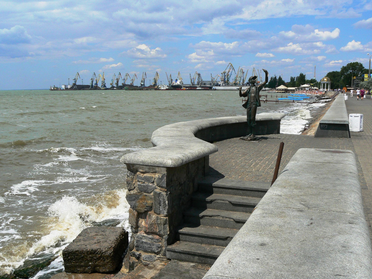
Berdyansk district is located in the south-eastern part of the Zaporozhye region, in the historical and ethnographic territory of the Azov region. From the south it is washed by the waters of the Sea of Azov. The coastal natural complexes are protected by the Priazovsky National Nature Park, which combines a number of reserves and natural monuments. The rivers Byrd and Obytichna flow within the district. Berdy floodplain and Berdyansk spit have the status of reserves of national importance. Here are such historical and cultural monuments as Berdyansk mound of Scythian times, Berdyansk lighthouse of the XIX century, Peter Schmidt Memorial House-Museum, Berdyansk Art Museum. Isaac Brodsky.
The administrative center of Berdyansk district is the port and resort city of Berdyansk, located in the bay of Berdyansk spit. The surrounding estuaries contain unique healing mud, thanks to which this sea, climate and mud resort has the status of a resort of national importance.
The area of the district is more than 4460 square kilometers. The population of the district reaches 184 thousand people. The Berdyansk district includes 113 settlements, which are united into 8 territorial communities: Berdyansk, Primorye urban, Andriyivska, Chernihiv settlement, Andrivska, Berestivska, Osypenkivska, Kolarivska rural territorial communities.
Melitopol district
Melitopol district is located in the southern part of Zaporozhye region, in the historical and ethnographic territory of the Azov region. From the south it is washed by the waters of the Sea of Azov. The Molochna River flows within the district. The coastal natural complexes and the nature of the Milky Estuary are protected by the Priazovsky National Nature Park. There are s... Read more
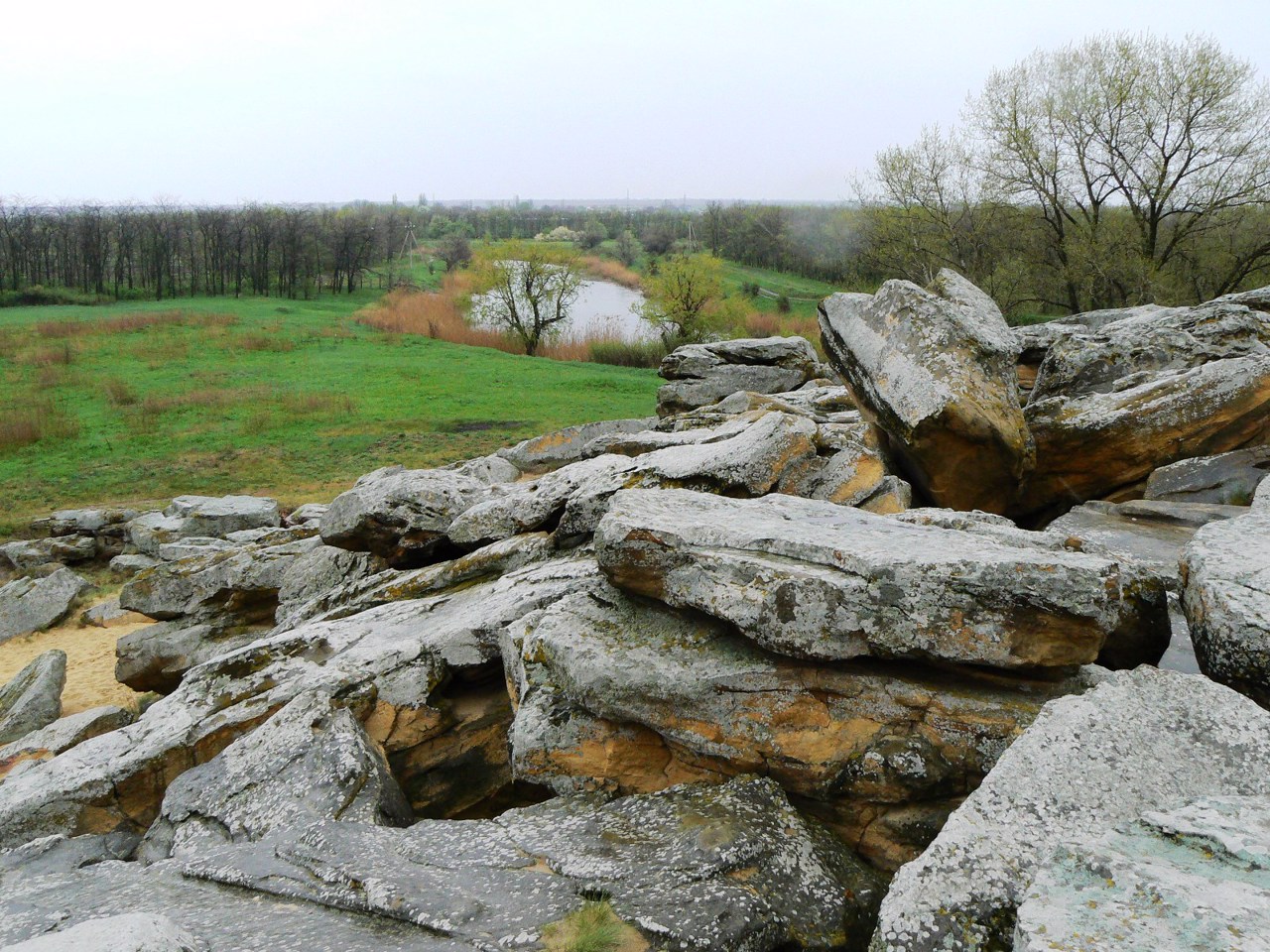
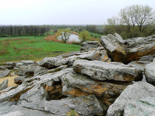
Melitopol district is located in the southern part of Zaporozhye region, in the historical and ethnographic territory of the Azov region. From the south it is washed by the waters of the Sea of Azov. The Molochna River flows within the district. The coastal natural complexes and the nature of the Milky Estuary are protected by the Priazovsky National Nature Park. There are such historical and cultural monuments as the National Historical and Archaeological Reserve "Stone Tomb", Melitopol mound of Scythian times, Alexander Nevsky Cathedral, the estate of Baron Filiber. One of the largest Karaite communities in Ukraine lives compactly within the district. The gastronomic brand of the region is Melitopol cherries, which have a protected geographical indication.
The administrative center of Melitopol district is the city of Melitopol. The area of the district is over 7080 square kilometers. The population of the district exceeds 285 thousand people.
The Melitopol district includes 208 settlements, which are united in 16 territorial communities: Melitopol city, Kirillov, Yakymiv, Veseliv, Myrne, Novovasyliv, Pryazov village, Novouspeniv, Chkalovsk, Konstantinivka, Terniv, Ternopil, Novoborodniv Oleksandrivska rural territorial communities.

Pology district
Pology district is located in the eastern part of Zaporizhia region, on the historical and ethnographic territory of the Middle Dnieper. Within the district there is a part of the Ukrainian steppe nature reserve, the rivers Konka and Gaychur flow. Here are such historical and cultural monuments as Schroeder's Palace in Molochansk, the memorial estate-museum "Khata M... Read more
Pology district is located in the eastern part of Zaporizhia region, on the historical and ethnographic territory of the Middle Dnieper. Within the district there is a part of the Ukrainian steppe nature reserve, the rivers Konka and Gaychur flow. Here are such historical and cultural monuments as Schroeder's Palace in Molochansk, the memorial estate-museum "Khata Makhniv" in Huliaipil, the ethnographic complex "Ukrainian yard of the XIX century." in Tokmak.
The administrative center of Pology district is the city of Pology. The area of the district is 6762.5 square kilometers. The population of the district reaches 172 thousand people.
Pology district includes 240 settlements, which are united in 15 territorial communities: Tokmatska, Huliaipilska, Orikhivska, Pologivska, Molochanska city, Bilmatska, Komysh-Zoryanska, Rozivska settlements, Vozdvyzhivska, Malynivska, Smyrnovska, Prerezmazna, Malotozma Fedorovskaya rural territorial communities.
Vasyliv district
Vasyliv district is located in the western part of Zaporizhia region, on the historical and ethnographic territory of the Middle Dnieper. From the north it is washed by the waters of the Kakhovka Reservoir on the Dnipro. Within the district there is a part of the National Natural Park "Big Meadow", reserves of national importance "Steep slopes of the Kakhovka ... Read more
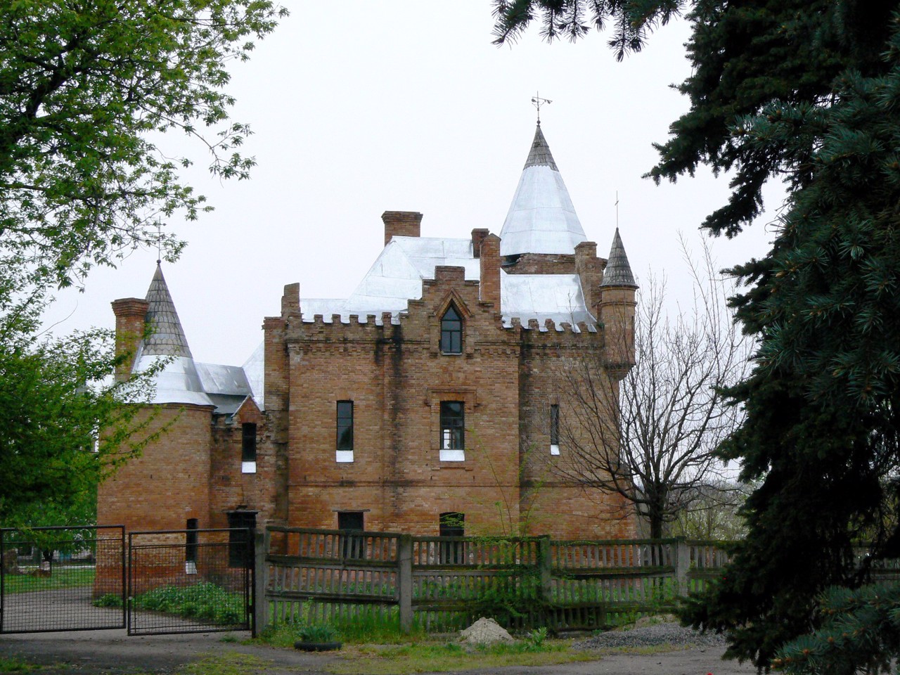
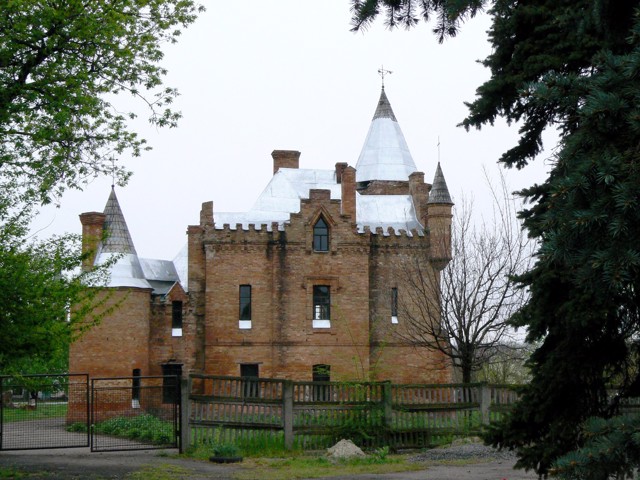
Vasyliv district is located in the western part of Zaporizhia region, on the historical and ethnographic territory of the Middle Dnieper. From the north it is washed by the waters of the Kakhovka Reservoir on the Dnipro. Within the district there is a part of the National Natural Park "Big Meadow", reserves of national importance "Steep slopes of the Kakhovka reservoir", "Belozirskoe tract", "Big and Small Kuchugury". There are such historical and cultural monuments as the Vasylkiv Historical and Architectural Museum-Reserve "Popov's Manor", the Mamay-Hora mound cemetery.
The administrative center of Vasylivka district is the city of Vasylivka. The area of the district is 4287 square kilometers. The population of the district reaches 190 thousand people.
The Vasyliv district includes 109 settlements, which are united into 11 territorial communities: Energodar, Vasyliv, Dniprorudne, Kamyansko-Dniprovska urban, Stepnogirska, Mykhailivska settlements, Malobilozerska, Velykobilozerska, Rozdolska, Blagoveshchenskaya, Vodiani rural.
Zaporizhia district
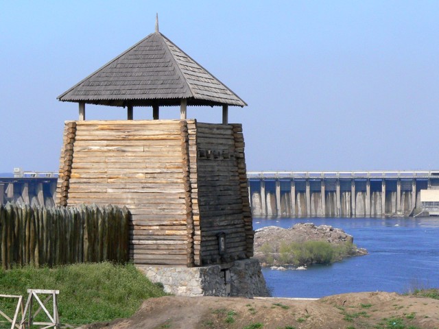
Zaporizhia district is located in the northern part of Zaporizhia region, in the historical and ethnographic territory of the Middle Dnipro. The territory of the district is crossed by the river Dnipro, the river Kinska (Konka) flows into it here. Within the district there is a part of the National Nature Park "Velykyi Luh" and a reserve of national importance &quo... Read more
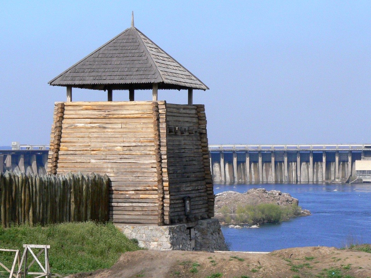
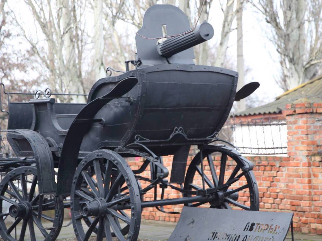
Zaporizhia district is located in the northern part of Zaporizhia region, in the historical and ethnographic territory of the Middle Dnipro. The territory of the district is crossed by the river Dnipro, the river Kinska (Konka) flows into it here. Within the district there is a part of the National Nature Park "Velykyi Luh" and a reserve of national importance "Dnipro rapids". There are such historical and cultural monuments as the National Reserve "Khortytsia", "Dniproges", the museum of retro cars "Phaeton", the Museum of the History of Weapons, the House-Museum of German colonists in Ruchaivka. Tavria Zoo provides an opportunity to observe animals in natural conditions.
The administrative center of Zaporizhia district is the regional center, the industrial city of Zaporizhia, which boasts one of the longest avenues in Europe. The area of the district is almost 4675 square kilometers. The population of the district reaches 875 thousand people.
The Zaporizhia district includes 282 settlements, which are united in 17 territorial communities: Zaporizhia, Vilnia city, Kushugum, Novomykolaiv, Ternuvat, Komyshuva settlements, Matviyivska, Mykhailivska, Mykhailo-Lukashivska, Pavlivska, Petro-Mykhailivska, Dolynska Novooleksandrivska, Stepnenska, Shirokivska, Tavriyska rural territorial communities.
